Distance to Carlton, Minnesota

Calculating Your Route
Just a moment while we process your request...
Location Information
-
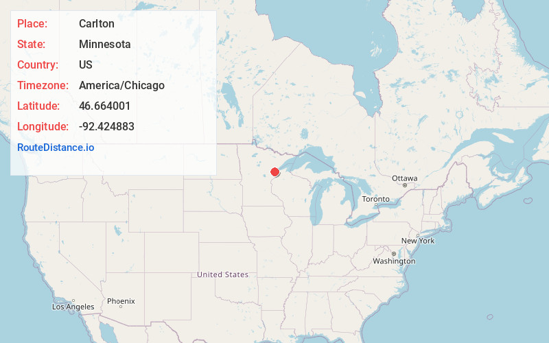
Full AddressCarlton, MN
-
Coordinates46.6640011, -92.4248827
-
LocationCarlton , Minnesota , US
-
TimezoneAmerica/Chicago
-
Current Local Time12:56:21 PM America/ChicagoWednesday, June 18, 2025
-
Website
-
Page Views0
About Carlton
Carlton is a city and the county seat of Carlton County, Minnesota, United States. The population was 948 at the 2020 census. The town sits on the northwestern edge of Jay Cooke State Park.
Minnesota State Highways 45 and 210 and County Roads 1 and 3 are four of Carlton's main routes.


Nearby Places
Found 10 places within 50 miles

Scanlon
3.0 mi
4.8 km
Scanlon, MN
Get directions

Esko
4.2 mi
6.8 km
Esko, MN 55733
Get directions

Cloquet
4.3 mi
6.9 km
Cloquet, MN 55720
Get directions
Proctor
11.1 mi
17.9 km
Proctor, MN 55810
Get directions

Hermantown
13.3 mi
21.4 km
Hermantown, MN
Get directions

Superior
15.7 mi
25.3 km
Superior, WI
Get directions

Duluth
17.3 mi
27.8 km
Duluth, MN
Get directions

Moose Lake
21.9 mi
35.2 km
Moose Lake, MN 55767
Get directions

Lake Nebagamon
35.9 mi
57.8 km
Lake Nebagamon, WI 54849
Get directions

Sandstone
42.4 mi
68.2 km
Sandstone, MN 55072
Get directions
Location Links
Local Weather
Weather Information
Coming soon!
Location Map
Static map view of Carlton, Minnesota
Browse Places by Distance
Places within specific distances from Carlton
Short Distances
Long Distances
Click any distance to see all places within that range from Carlton. Distances shown in miles (1 mile ≈ 1.61 kilometers).