Distance to Carnuel, New Mexico

Calculating Your Route
Just a moment while we process your request...
Location Information
-
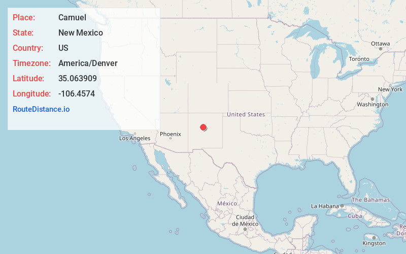
Full AddressCarnuel, NM 87123
-
Coordinates35.0639089, -106.4574003
-
LocationCarnuel , New Mexico , US
-
TimezoneAmerica/Denver
-
Current Local Time3:45:13 PM America/DenverWednesday, June 18, 2025
-
Page Views0
About Carnuel
Carnuel is a census-designated place in Bernalillo County, New Mexico, United States. The population was 1,232 at the 2010 Census. It is part of the Albuquerque Metropolitan Statistical Area.


Nearby Places
Found 10 places within 50 miles

Cedar Crest
5.7 mi
9.2 km
Cedar Crest, NM
Get directions

San Antonito
9.2 mi
14.8 km
San Antonito, NM
Get directions

Sedillo
9.5 mi
15.3 km
Sedillo, NM 87059
Get directions

Albuquerque
11.0 mi
17.7 km
Albuquerque, NM
Get directions

Los Ranchos De Albuquerque
12.5 mi
20.1 km
Los Ranchos De Albuquerque, NM
Get directions

North Valley
12.5 mi
20.1 km
North Valley, NM
Get directions

South Valley
13.0 mi
20.9 km
South Valley, NM
Get directions

Corrales
14.7 mi
23.7 km
Corrales, NM
Get directions

Edgewood
15.0 mi
24.1 km
Edgewood, NM
Get directions

Rio Rancho
16.5 mi
26.6 km
Rio Rancho, NM
Get directions
Location Links
Local Weather
Weather Information
Coming soon!
Location Map
Static map view of Carnuel, New Mexico
Browse Places by Distance
Places within specific distances from Carnuel
Short Distances
Long Distances
Click any distance to see all places within that range from Carnuel. Distances shown in miles (1 mile ≈ 1.61 kilometers).