Distance to Carr, Colorado

Calculating Your Route
Just a moment while we process your request...
Location Information
-
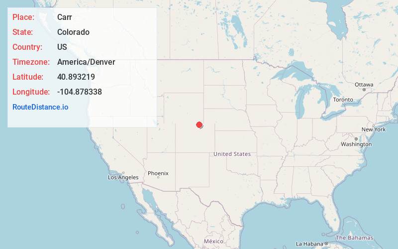
Full AddressCarr, CO 80612
-
Coordinates40.893219, -104.8783379
-
LocationCarr , Colorado , US
-
TimezoneAmerica/Denver
-
Current Local Time12:25:39 AM America/DenverTuesday, July 1, 2025
-
Page Views0
About Carr
Carr is an unincorporated community that used to have a U.S. Post Office in Weld County, Colorado, United States. The ZIP Code of Carr is 80612. Some consider Carr a ghost town. Today, a few old houses remain plus a church and the schoolhouse, but the old store fronts are gone.


Nearby Places
Found 10 places within 50 miles

Warren
4.7 mi
7.6 km
Warren, CO 80612
Get directions
Gleason
8.0 mi
12.9 km
Gleason, WY 82007
Get directions
Dover
8.6 mi
13.8 km
Dover, CO 80612
Get directions
Bulger
8.8 mi
14.2 km
Bulger, CO 80549
Get directions
Speer
11.2 mi
18.0 km
Speer, WY 82007
Get directions
Gilman Mountain
12.6 mi
20.3 km
Gilman Mountain, Colorado 80549
Get directions

Nunn
14.1 mi
22.7 km
Nunn, CO 80648
Get directions
Orchard Valley
14.4 mi
23.2 km
Orchard Valley, WY 82007
Get directions
South Greeley
14.6 mi
23.5 km
South Greeley, WY 82007
Get directions

Wellington
14.8 mi
23.8 km
Wellington, CO 80549
Get directions
Location Links
Local Weather
Weather Information
Coming soon!
Location Map
Static map view of Carr, Colorado
Browse Places by Distance
Places within specific distances from Carr
Short Distances
Long Distances
Click any distance to see all places within that range from Carr. Distances shown in miles (1 mile ≈ 1.61 kilometers).