Distance to and from Carrabelle, Florida
Carrabelle, FL 32322
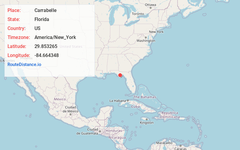
Carrabelle
Florida
US
America/New_York
Location Information
-
Full AddressCarrabelle, FL 32322
-
Coordinates29.8532645, -84.664348
-
LocationCarrabelle , Florida , US
-
TimezoneAmerica/New_York
-
Current Local Time12:13:38 PM America/New_YorkSaturday, May 3, 2025
-
Page Views0
Directions to Nearest Cities
About Carrabelle
Carrabelle is a city in Franklin County along Florida's Panhandle, United States. It is located east of Apalachicola at the mouth of the Carrabelle River on the Gulf of Mexico. The population was 2,606 as of the 2020 census.


Nearby Places
Found 6 places within 50 miles

Crawfordville
29.4 mi
47.3 km
Crawfordville, FL 32327
Get directions

Port St Joe
38.4 mi
61.8 km
Port St Joe, FL 32456
Get directions

Woodville
40.4 mi
65.0 km
Woodville, FL 32305
Get directions

Midway
46.0 mi
74.0 km
Midway, FL
Get directions

Tallahassee
46.5 mi
74.8 km
Tallahassee, FL
Get directions

Blountstown
46.7 mi
75.2 km
Blountstown, FL 32424
Get directions
Location Links
Local Weather
Weather Information
Coming soon!
Location Map
Static map view of Carrabelle, Florida
Browse Places by Distance
Places within specific distances from Carrabelle
Short Distances
Long Distances
Click any distance to see all places within that range from Carrabelle. Distances shown in miles (1 mile ≈ 1.61 kilometers).