Distance to Carroll County, Tennessee

Calculating Your Route
Just a moment while we process your request...
Location Information
-
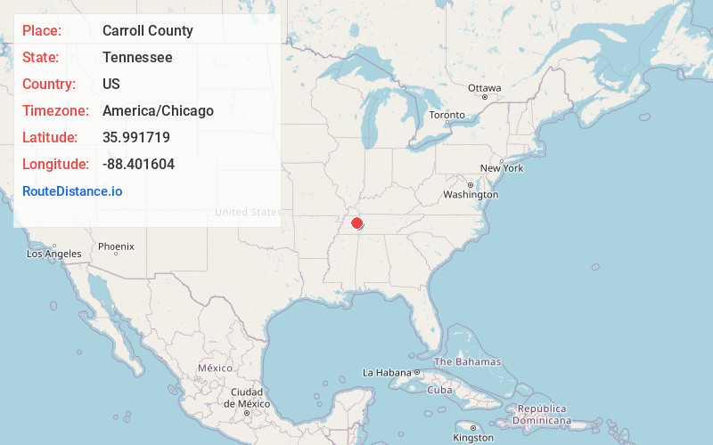
Full AddressCarroll County, TN
-
Coordinates35.9917193, -88.4016041
-
LocationTennessee , US
-
TimezoneAmerica/Chicago
-
Current Local Time9:50:24 AM America/ChicagoMonday, June 23, 2025
-
Page Views0
About Carroll County
Carroll County is a county located in the western division of the U.S. state of Tennessee. As of the 2020 census, the population was 28,440. Its county seat is Huntingdon. The county was established by the Tennessee General Assembly on November 7, 1821, and was named for Governor William Carroll.


Nearby Places
Found 10 places within 50 miles

Huntingdon
1.6 mi
2.6 km
Huntingdon, TN 38344
Get directions

Hillard
2.8 mi
4.5 km
Hillard, TN 38344
Get directions
Long Rock
4.1 mi
6.6 km
Long Rock, TN 38344
Get directions
Tate
4.2 mi
6.8 km
Tate, TN 38344
Get directions
Leach
6.3 mi
10.1 km
Leach, TN 38344
Get directions
Buena Vista
6.4 mi
10.3 km
Buena Vista, TN 38318
Get directions
New Zion
7.6 mi
12.2 km
New Zion, TN 38344
Get directions

Hollow Rock
7.8 mi
12.6 km
Hollow Rock, TN
Get directions
Westport
8.1 mi
13.0 km
Westport, TN 38387
Get directions

Clarksburg
8.3 mi
13.4 km
Clarksburg, TN
Get directions
Location Links
Local Weather
Weather Information
Coming soon!
Location Map
Static map view of Carroll County, Tennessee
Browse Places by Distance
Places within specific distances from Carroll County
Short Distances
Long Distances
Click any distance to see all places within that range from Carroll County. Distances shown in miles (1 mile ≈ 1.61 kilometers).