Distance to Carroll, Maine

Calculating Your Route
Just a moment while we process your request...
Location Information
-
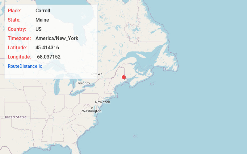
Full AddressCarroll, ME 04487
-
Coordinates45.4143156, -68.0371516
-
LocationCarroll , Maine , US
-
TimezoneAmerica/New_York
-
Current Local Time5:24:36 AM America/New_YorkWednesday, June 18, 2025
-
Page Views0
About Carroll
Carroll Plantation is a plantation in Penobscot County, Maine, United States. The plantation was named for Daniel Carroll, a signatory of the United States Constitution. It is located along Maine State Route 6 near its intersection with State Route 170. The population was 138 at the 2020 census.
Nearby Places
Found 10 places within 50 miles

Springfield
6.3 mi
10.1 km
Springfield, ME 04487
Get directions

Lee
12.7 mi
20.4 km
Lee, ME
Get directions
Winn
14.6 mi
23.5 km
Winn, ME
Get directions

Topsfield
14.6 mi
23.5 km
Topsfield, ME
Get directions

Mattawamkeag
16.8 mi
27.0 km
Mattawamkeag, ME
Get directions

Danforth
18.9 mi
30.4 km
Danforth, ME 04424
Get directions

Woodville
20.6 mi
33.2 km
Woodville, ME
Get directions

Chester
22.4 mi
36.0 km
Chester, ME 04457
Get directions

Lincoln
23.0 mi
37.0 km
Lincoln, ME 04457
Get directions

Weston
23.4 mi
37.7 km
Weston, ME
Get directions
Location Links
Local Weather
Weather Information
Coming soon!
Location Map
Static map view of Carroll, Maine
Browse Places by Distance
Places within specific distances from Carroll
Short Distances
Long Distances
Click any distance to see all places within that range from Carroll. Distances shown in miles (1 mile ≈ 1.61 kilometers).