Distance to Carroll Township, Pennsylvania

Calculating Your Route
Just a moment while we process your request...
Location Information
-
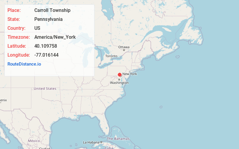
Full AddressCarroll Township, PA 17019
-
Coordinates40.1097581, -77.0161436
-
LocationCarroll Township , Pennsylvania , US
-
TimezoneAmerica/New_York
-
Current Local Time12:46:19 PM America/New_YorkMonday, June 23, 2025
-
Page Views0
About Carroll Township
Carroll Township is a township in York County, Pennsylvania, United States. The population was 6,861 at the 2020 census.
Nearby Places
Found 10 places within 50 miles

Dillsburg
1.0 mi
1.6 km
Dillsburg, PA 17019
Get directions

Stevenstown
1.6 mi
2.6 km
Stevenstown, Carroll Township, PA 17019
Get directions
Uno
1.8 mi
2.9 km
Uno, Carroll Township, PA 17019
Get directions
Franklintown
2.4 mi
3.9 km
Franklintown, PA 17019
Get directions
Rosegarden
2.6 mi
4.2 km
Rosegarden, Carroll Township, PA 17019
Get directions
Williams Grove
3.1 mi
5.0 km
Williams Grove, PA 17055
Get directions
Brandtsville
3.3 mi
5.3 km
Brandtsville, PA 17055
Get directions
Siddonsburg
3.6 mi
5.8 km
Siddonsburg, PA 17019
Get directions
White Rock Acres
3.7 mi
6.0 km
White Rock Acres, PA 17007
Get directions
Clear Spring
4.3 mi
6.9 km
Clear Spring, PA 17019
Get directions
Location Links
Local Weather
Weather Information
Coming soon!
Location Map
Static map view of Carroll Township, Pennsylvania
Browse Places by Distance
Places within specific distances from Carroll Township
Short Distances
Long Distances
Click any distance to see all places within that range from Carroll Township. Distances shown in miles (1 mile ≈ 1.61 kilometers).