Distance to Carroll Township, Ohio

Calculating Your Route
Just a moment while we process your request...
Location Information
-
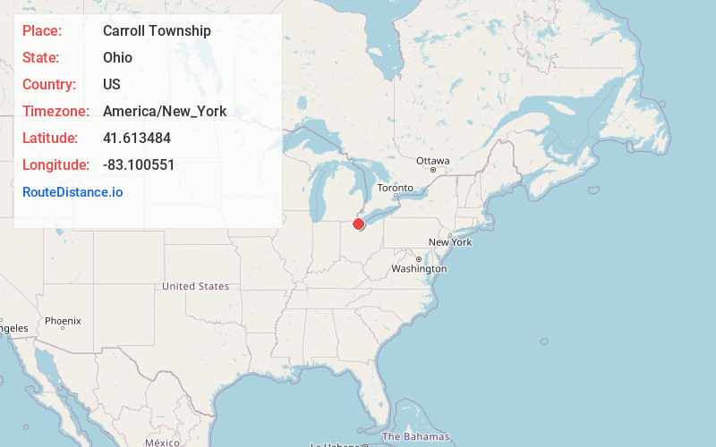
Full AddressCarroll Township, OH
-
Coordinates41.6134844, -83.1005505
-
LocationCarroll Township , Ohio , US
-
TimezoneAmerica/New_York
-
Current Local Time11:26:31 PM America/New_YorkSunday, June 22, 2025
-
Page Views0
About Carroll Township
Carroll Township is one of the twelve townships of Ottawa County, Ohio, United States. The 2020 census found 2,117 people in the township.


Nearby Places
Found 10 places within 50 miles

Sand Beach
0.4 mi
0.6 km
Sand Beach, Carroll Township, OH 43449
Get directions
Long Beach
0.6 mi
1.0 km
Long Beach, Carroll Township, OH 43449
Get directions
Locust Point
1.8 mi
2.9 km
Locust Point, Carroll Township, OH 43449
Get directions

Erie Township
5.4 mi
8.7 km
Erie Township, OH
Get directions
Benton Township
7.0 mi
11.3 km
Benton Township, OH
Get directions
Lacarne
7.4 mi
11.9 km
Lacarne, OH 43452
Get directions

Oak Harbor
7.8 mi
12.6 km
Oak Harbor, OH 43449
Get directions
Howard Farms Beach
8.0 mi
12.9 km
Howard Farms Beach, Reno Beach, OH 43412
Get directions
Rocky Ridge
8.0 mi
12.9 km
Rocky Ridge, OH
Get directions

Bono
8.8 mi
14.2 km
Bono, OH 43445
Get directions
Location Links
Local Weather
Weather Information
Coming soon!
Location Map
Static map view of Carroll Township, Ohio
Browse Places by Distance
Places within specific distances from Carroll Township
Short Distances
Long Distances
Click any distance to see all places within that range from Carroll Township. Distances shown in miles (1 mile ≈ 1.61 kilometers).