Distance to Carrollton, Arkansas

Calculating Your Route
Just a moment while we process your request...
Location Information
-
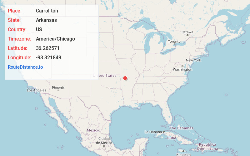
Full AddressCarrollton, AR 72611
-
Coordinates36.2625705, -93.3218492
-
LocationCarrollton , Arkansas , US
-
TimezoneAmerica/Chicago
-
Current Local Time1:52:26 AM America/ChicagoWednesday, June 25, 2025
-
Page Views0
About Carrollton
Carrollton is an unincorporated community in Carroll County, Arkansas, United States. Once designated the county seat, it had a population near the 10,000 mark in the 1850s. It has now 30 residents and a historically significant past.
Nearby Places
Found 10 places within 50 miles

Alpena
2.6 mi
4.2 km
Alpena, AR 72611
Get directions

Hough
4.0 mi
6.4 km
Hough, AR 72638
Get directions
Coin
4.9 mi
7.9 km
Coin, AR 72638
Get directions
Little Arkansaw
5.1 mi
8.2 km
Little Arkansaw, AR 72601
Get directions
Red Bank
5.5 mi
8.9 km
Red Bank, AR 72601
Get directions
Batavia
5.5 mi
8.9 km
Batavia, AR 72601
Get directions
Lick Branch
7.0 mi
11.3 km
Lick Branch, AR 72611
Get directions
Conner
7.0 mi
11.3 km
Conner, AR 72638
Get directions
Delmar
7.1 mi
11.4 km
Delmar, AR 72611
Get directions
Osage
7.2 mi
11.6 km
Osage, AR 72611
Get directions
Location Links
Local Weather
Weather Information
Coming soon!
Location Map
Static map view of Carrollton, Arkansas
Browse Places by Distance
Places within specific distances from Carrollton
Short Distances
Long Distances
Click any distance to see all places within that range from Carrollton. Distances shown in miles (1 mile ≈ 1.61 kilometers).