Distance to Carrollton, Alabama

Calculating Your Route
Just a moment while we process your request...
Location Information
-
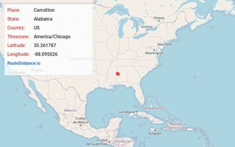
Full AddressCarrollton, AL 35447
-
Coordinates33.2617871, -88.0950263
-
LocationCarrollton , Alabama , US
-
TimezoneAmerica/Chicago
-
Current Local Time10:11:41 PM America/ChicagoThursday, June 19, 2025
-
Page Views0
About Carrollton
Carrollton is a city in and the county seat of Pickens County, Alabama, United States. At the 2010 census the population was 1,019, up from 987 in 2000. The Hugh Wilson Hill House / Kelly - Stone - Hill Place is a historic residence listed on the National Register of Historic Places.
Nearby Places
Found 10 places within 50 miles

Reform
9.3 mi
15.0 km
Reform, AL
Get directions

Aliceville
9.7 mi
15.6 km
Aliceville, AL 35442
Get directions
Gordo
11.8 mi
19.0 km
Gordo, AL 35466
Get directions
New Hope
18.5 mi
29.8 km
New Hope, MS 39702
Get directions

Millport
20.9 mi
33.6 km
Millport, AL 35576
Get directions

Columbus
25.1 mi
40.4 km
Columbus, MS
Get directions

Macon
29.0 mi
46.7 km
Macon, MS 39341
Get directions

Northport
30.0 mi
48.3 km
Northport, AL
Get directions

Tuscaloosa
30.8 mi
49.6 km
Tuscaloosa, AL
Get directions

Eutaw
31.5 mi
50.7 km
Eutaw, AL 35462
Get directions
Location Links
Local Weather
Weather Information
Coming soon!
Location Map
Static map view of Carrollton, Alabama
Browse Places by Distance
Places within specific distances from Carrollton
Short Distances
Long Distances
Click any distance to see all places within that range from Carrollton. Distances shown in miles (1 mile ≈ 1.61 kilometers).