Distance to Carryall Township, Ohio

Calculating Your Route
Just a moment while we process your request...
Location Information
-
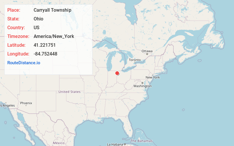
Full AddressCarryall Township, OH
-
Coordinates41.2217513, -84.7524482
-
LocationCarryall Township , Ohio , US
-
TimezoneAmerica/New_York
-
Current Local Time10:38:14 AM America/New_YorkThursday, June 5, 2025
-
Page Views0
About Carryall Township
Carryall Township is one of the twelve townships of Paulding County, Ohio, United States. The 2020 census found 3,010 people in the township.


Nearby Places
Found 10 places within 50 miles

Antwerp
2.9 mi
4.7 km
Antwerp, OH 45813
Get directions

Knoxdale
4.3 mi
6.9 km
Knoxdale, Crane Township, OH 45813
Get directions

Hicksville
5.0 mi
8.0 km
Hicksville, OH 43526
Get directions

Maumee Township
6.8 mi
10.9 km
Maumee Township, IN 46797
Get directions
Newville Township
7.5 mi
12.1 km
Newville Township, IN
Get directions
Bluecast
7.7 mi
12.4 km
Bluecast, Maumee Township, IN 46797
Get directions
Cecil
7.8 mi
12.6 km
Cecil, OH 45821
Get directions
Mark Center
7.8 mi
12.6 km
Mark Center, OH 43536
Get directions

Woodburn
8.5 mi
13.7 km
Woodburn, IN 46797
Get directions

Harlan
8.9 mi
14.3 km
Harlan, IN
Get directions
Location Links
Local Weather
Weather Information
Coming soon!
Location Map
Static map view of Carryall Township, Ohio
Browse Places by Distance
Places within specific distances from Carryall Township
Short Distances
Long Distances
Click any distance to see all places within that range from Carryall Township. Distances shown in miles (1 mile ≈ 1.61 kilometers).