Distance to Carson County, Texas

Calculating Your Route
Just a moment while we process your request...
Location Information
-
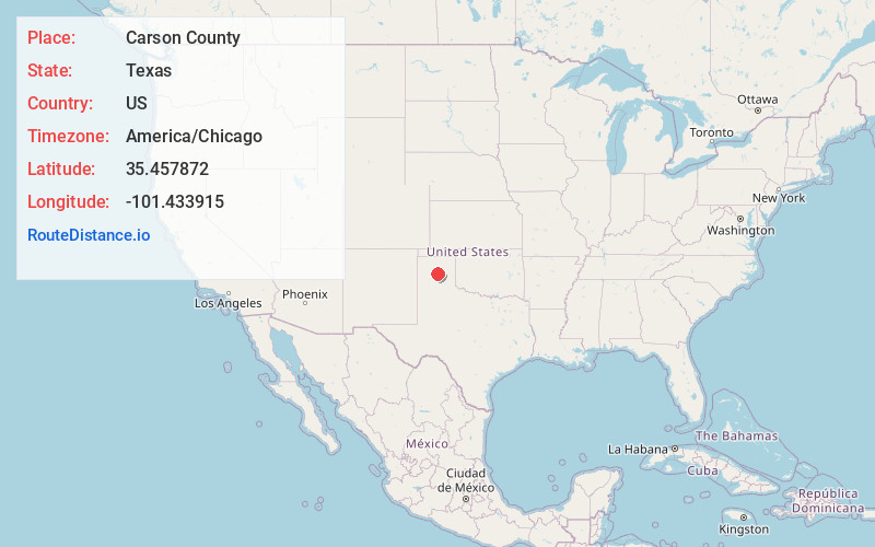
Full AddressCarson County, TX
-
Coordinates35.4578717, -101.4339148
-
LocationTexas , US
-
TimezoneAmerica/Chicago
-
Current Local Time9:47:30 PM America/ChicagoMonday, June 2, 2025
-
Page Views0
About Carson County
Carson County is a county located in the U.S. state of Texas. As of the 2020 census, its population was 5,807. The county seat is Panhandle. The county was founded in 1876 and later organized in 1888. It is named for Samuel Price Carson, the first secretary of state of the Republic of Texas.


Nearby Places
Found 10 places within 50 miles

Pomeroy
4.2 mi
6.8 km
Pomeroy, TX 79068
Get directions
Abell
4.7 mi
7.6 km
Abell, TX 79068
Get directions

Panhandle
8.3 mi
13.4 km
Panhandle, TX 79068
Get directions
Cuyler
10.2 mi
16.4 km
Cuyler, TX 79068
Get directions
Philrich
13.5 mi
21.7 km
Philrich, TX 79007
Get directions
Texroy
14.5 mi
23.3 km
Texroy, TX 79080
Get directions

Borger
14.7 mi
23.7 km
Borger, TX 79007
Get directions

White Deer
14.8 mi
23.8 km
White Deer, TX 79097
Get directions
Cargray
15.1 mi
24.3 km
Cargray, TX 79097
Get directions

Fritch
15.8 mi
25.4 km
Fritch, TX 79036
Get directions
Location Links
Local Weather
Weather Information
Coming soon!
Location Map
Static map view of Carson County, Texas
Browse Places by Distance
Places within specific distances from Carson County
Short Distances
Long Distances
Click any distance to see all places within that range from Carson County. Distances shown in miles (1 mile ≈ 1.61 kilometers).