Distance to Carson, Mississippi

Calculating Your Route
Just a moment while we process your request...
Location Information
-
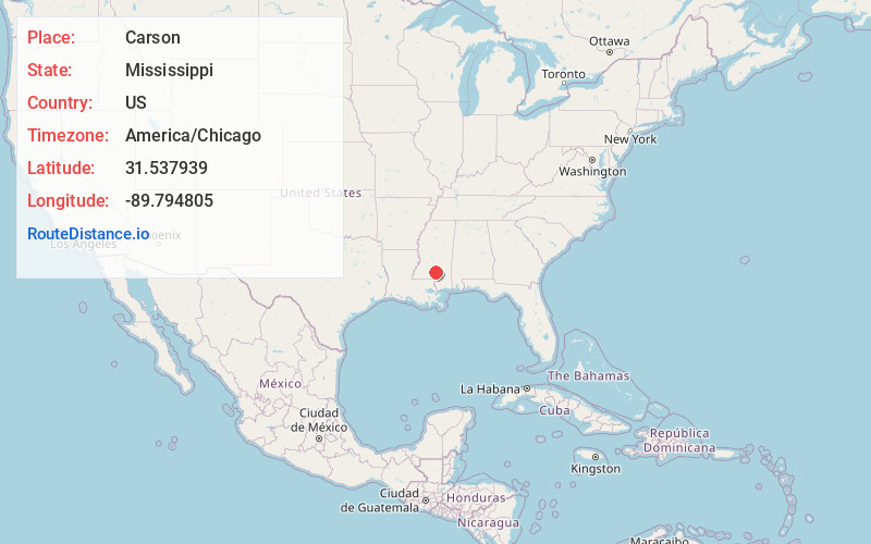
Full AddressCarson, MS 39427
-
Coordinates31.5379389, -89.7948049
-
LocationCarson , Mississippi , US
-
TimezoneAmerica/Chicago
-
Current Local Time5:54:52 PM America/ChicagoFriday, June 20, 2025
-
Page Views0
About Carson
Carson is an unincorporated community in Jefferson Davis County, Mississippi, United States. Carson is located on Mississippi Highway 42, 6 miles southeast of Prentiss.
Nearby Places
Found 10 places within 50 miles

Jefferson Davis County
3.3 mi
5.3 km
Jefferson Davis County, MS
Get directions

Bassfield
4.3 mi
6.9 km
Bassfield, MS 39421
Get directions
Terrell
5.6 mi
9.0 km
Terrell, MS 39474
Get directions
Prentiss
6.0 mi
9.7 km
Prentiss, MS 39474
Get directions
Cantwell Mill
6.5 mi
10.5 km
Cantwell Mill, MS 39421
Get directions
McRaney
6.7 mi
10.8 km
McRaney, MS 39428
Get directions
Deen
7.0 mi
11.3 km
Deen, MS 39421
Get directions
Mt Carmel
7.4 mi
11.9 km
Mt Carmel, MS 39474
Get directions
Lone Star
7.7 mi
12.4 km
Lone Star, MS 39428
Get directions
Progress
8.4 mi
13.5 km
Progress, MS 39474
Get directions
Location Links
Local Weather
Weather Information
Coming soon!
Location Map
Static map view of Carson, Mississippi
Browse Places by Distance
Places within specific distances from Carson
Short Distances
Long Distances
Click any distance to see all places within that range from Carson. Distances shown in miles (1 mile ≈ 1.61 kilometers).