Distance to Cartagena, Bolivar

Calculating Your Route
Just a moment while we process your request...
Location Information
-
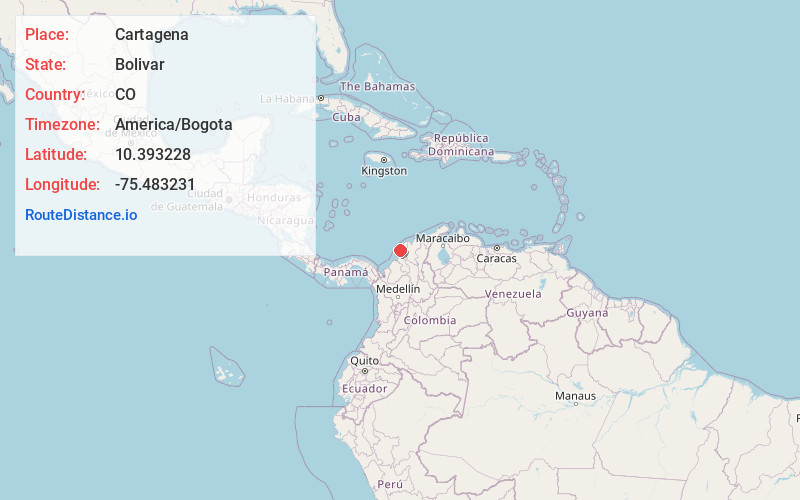
Full AddressCartagena, Cartagena Province, Bolivar, Colombia
-
Coordinates10.3932277, -75.4832311
-
LocationCartagena, Cartagena Province , Bolivar , CO
-
TimezoneAmerica/Bogota
-
Current Local Time11:16:11 PM America/BogotaTuesday, May 20, 2025
-
Page Views0
About Cartagena
Cartagena is a port city on Colombia’s Caribbean coast. By the sea is the walled Old Town, founded in the 16th century, with squares, cobblestone streets and colorful colonial buildings. With a tropical climate, the city is also a popular beach destination. Reachable by boat are Isla de Barú, with white-sand beaches and palm trees, and the Islas del Rosario, known for their coral reefs.


Location Links
Local Weather
Weather Information
Coming soon!
Location Map
Static map view of Cartagena, Bolivar
Browse Places by Distance
Places within specific distances from Cartagena
Short Distances
Long Distances
Click any distance to see all places within that range from Cartagena. Distances shown in miles (1 mile ≈ 1.61 kilometers).