Distance to and from Carteret, New Jersey
Carteret, NJ
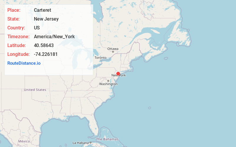
Carteret
New Jersey
US
America/New_York
Location Information
-
Full AddressCarteret, NJ
-
Coordinates40.5864295, -74.226181
-
LocationCarteret , New Jersey , US
-
TimezoneAmerica/New_York
-
Current Local Time12:44:07 PM America/New_YorkSaturday, May 3, 2025
-
Website
-
Page Views0
Directions to Nearest Cities
About Carteret
Carteret is a borough in northeastern Middlesex County, in the U.S. state of New Jersey. As of the 2020 United States census, the borough's population reached 25,326, its highest decennial count ever ...


Nearby Places
Found 10 places within 50 miles

Linden
2.9 mi
4.7 km
Linden, NJ
Get directions

Rahway
3.5 mi
5.6 km
Rahway, NJ
Get directions

Staten Island
4.0 mi
6.4 km
Staten Island, NY
Get directions

Woodbridge Township
4.2 mi
6.8 km
Woodbridge Township, NJ
Get directions

Elizabeth
5.4 mi
8.7 km
Elizabeth, NJ
Get directions

Perth Amboy
5.8 mi
9.3 km
Perth Amboy, NJ
Get directions

Westfield
7.8 mi
12.6 km
Westfield, NJ
Get directions

Union
7.9 mi
12.7 km
Union, NJ
Get directions

Bayonne
8.0 mi
12.9 km
Bayonne, NJ
Get directions

Sayreville
9.6 mi
15.4 km
Sayreville, NJ
Get directions
Linden
2.9 mi
4.7 km
Linden, NJ
Rahway
3.5 mi
5.6 km
Rahway, NJ
Staten Island
4.0 mi
6.4 km
Staten Island, NY
Woodbridge Township
4.2 mi
6.8 km
Woodbridge Township, NJ
Elizabeth
5.4 mi
8.7 km
Elizabeth, NJ
Perth Amboy
5.8 mi
9.3 km
Perth Amboy, NJ
Westfield
7.8 mi
12.6 km
Westfield, NJ
Union
7.9 mi
12.7 km
Union, NJ
Bayonne
8.0 mi
12.9 km
Bayonne, NJ
Sayreville
9.6 mi
15.4 km
Sayreville, NJ
Location Links
Local Weather
Weather Information
Coming soon!
Location Map
Static map view of Carteret, New Jersey
Browse Places by Distance
Places within specific distances from Carteret
Short Distances
Long Distances
Click any distance to see all places within that range from Carteret. Distances shown in miles (1 mile ≈ 1.61 kilometers).