Distance to Carvers, Nevada

Calculating Your Route
Just a moment while we process your request...
Location Information
-
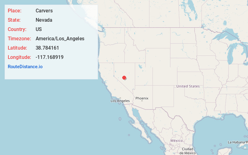
Full AddressCarvers, NV 89045
-
Coordinates38.784161, -117.1689189
-
LocationCarvers , Nevada , US
-
TimezoneAmerica/Los_Angeles
-
Current Local Time5:26:45 AM America/Los_AngelesTuesday, June 3, 2025
-
Page Views0
About Carvers
Carvers is an unincorporated community in Nye County, Nevada, United States. Its elevation is 5,643 feet. Carvers is the northernmost of the three settlements that make up the Big Smoky Valley's Round Mountain mining region. Its zip code is 89045.
Nearby Places
Found 7 places within 50 miles

Steigmeyer Mill
6.9 mi
11.1 km
Steigmeyer Mill, NV 89045
Get directions

Round Mountain
7.4 mi
11.9 km
Round Mountain, NV 89045
Get directions

Manhattan
17.7 mi
28.5 km
Manhattan, NV 89022
Get directions

Kingston
29.9 mi
48.1 km
Kingston, NV 89310
Get directions

Gabbs
41.0 mi
66.0 km
Gabbs, NV 89409
Get directions

Austin
49.3 mi
79.3 km
Austin, NV 89310
Get directions

Tonopah
49.5 mi
79.7 km
Tonopah, NV 89049
Get directions
Location Links
Local Weather
Weather Information
Coming soon!
Location Map
Static map view of Carvers, Nevada
Browse Places by Distance
Places within specific distances from Carvers
Short Distances
Long Distances
Click any distance to see all places within that range from Carvers. Distances shown in miles (1 mile ≈ 1.61 kilometers).