Distance to Castle Dale, Utah

Calculating Your Route
Just a moment while we process your request...
Location Information
-
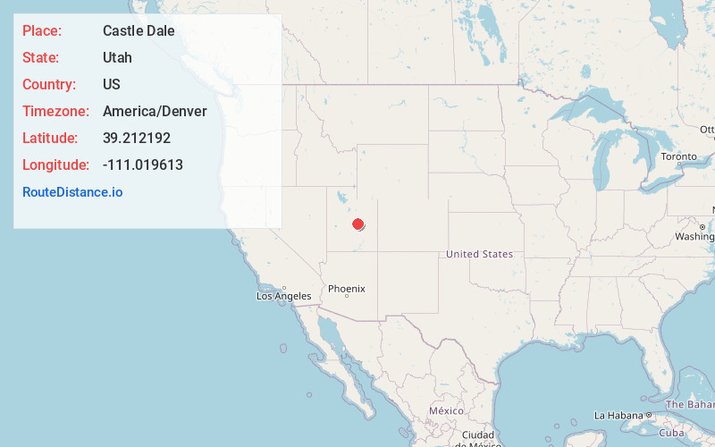
Full AddressCastle Dale, UT
-
Coordinates39.212192, -111.019613
-
LocationCastle Dale , Utah , US
-
TimezoneAmerica/Denver
-
Current Local Time7:58:56 AM America/DenverThursday, May 29, 2025
-
Page Views0
About Castle Dale
Castle Dale is a city in northwestern Emery County, Utah, United States. The population was 1,492 at the 2020 census. It is the county seat of Emery County.


Nearby Places
Found 10 places within 50 miles

Huntington
8.4 mi
13.5 km
Huntington, UT 84528
Get directions

Ferron
10.2 mi
16.4 km
Ferron, UT
Get directions

Wellington
27.4 mi
44.1 km
Wellington, UT
Get directions

Price
29.0 mi
46.7 km
Price, UT 84501
Get directions

Ephraim
32.0 mi
51.5 km
Ephraim, UT 84627
Get directions

Mt Pleasant
32.8 mi
52.8 km
Mt Pleasant, UT 84647
Get directions

Manti
33.3 mi
53.6 km
Manti, UT
Get directions

Helper
33.8 mi
54.4 km
Helper, UT 84526
Get directions

Gunnison
43.0 mi
69.2 km
Gunnison, UT
Get directions

Centerfield
43.2 mi
69.5 km
Centerfield, UT 84622
Get directions
Location Links
Local Weather
Weather Information
Coming soon!
Location Map
Static map view of Castle Dale, Utah
Browse Places by Distance
Places within specific distances from Castle Dale
Short Distances
Long Distances
Click any distance to see all places within that range from Castle Dale. Distances shown in miles (1 mile ≈ 1.61 kilometers).