Distance to Castle Gate, Utah

Calculating Your Route
Just a moment while we process your request...
Location Information
-
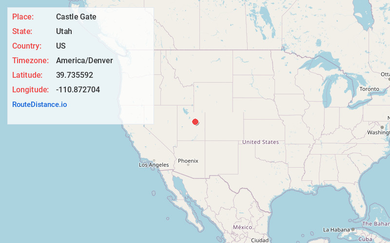
Full AddressCastle Gate, UT 84526
-
Coordinates39.7355919, -110.872704
-
LocationCastle Gate , Utah , US
-
TimezoneAmerica/Denver
-
Current Local Time11:52:11 AM America/DenverWednesday, June 18, 2025
-
Page Views0
About Castle Gate
Castle Gate is a ghost town in the western United States, located in Carbon County in eastern Utah. A mining town approximately ninety miles southeast of Salt Lake City, its name was derived from a rock formation near the mouth of Price Canyon.
Nearby Places
Found 10 places within 50 miles

Heiner
1.9 mi
3.1 km
Heiner, UT 84529
Get directions

Spring Canyon
3.4 mi
5.5 km
Spring Canyon, UT 84526
Get directions

Helper
3.7 mi
6.0 km
Helper, UT 84526
Get directions

Standardville
4.1 mi
6.6 km
Standardville, UT 84526
Get directions
Latuda
4.5 mi
7.2 km
Latuda, UT 84526
Get directions

Kenilworth
4.8 mi
7.7 km
Kenilworth, UT
Get directions

Spring Glen
5.4 mi
8.7 km
Spring Glen, UT 84526
Get directions
Wildcat
6.4 mi
10.3 km
Wildcat, UT 84526
Get directions
Kyune
7.3 mi
11.7 km
Kyune, UT 84526
Get directions
West Wood
9.1 mi
14.6 km
West Wood, UT 84501
Get directions
Location Links
Local Weather
Weather Information
Coming soon!
Location Map
Static map view of Castle Gate, Utah
Browse Places by Distance
Places within specific distances from Castle Gate
Short Distances
Long Distances
Click any distance to see all places within that range from Castle Gate. Distances shown in miles (1 mile ≈ 1.61 kilometers).