Distance to Castleton, Kansas

Calculating Your Route
Just a moment while we process your request...
Location Information
-
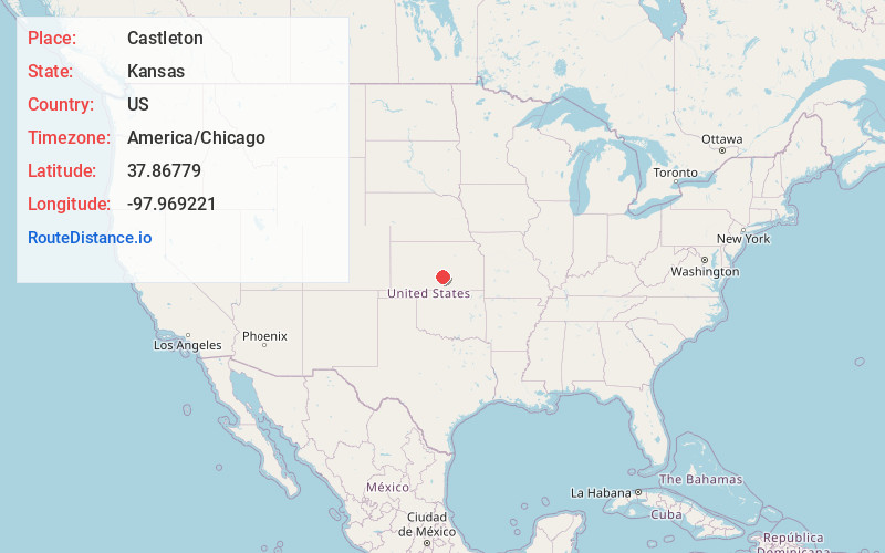
Full AddressCastleton, KS 67501
-
Coordinates37.8677903, -97.9692213
-
LocationCastleton , Kansas , US
-
TimezoneAmerica/Chicago
-
Current Local Time12:34:14 AM America/ChicagoFriday, June 20, 2025
-
Page Views0
About Castleton
Castleton is an unincorporated community in Reno County, Kansas, United States. It is located northeast of Pretty Prairie between Castleton Road and North Fork Ninnescah River.
Nearby Places
Found 10 places within 50 miles

Pretty Prairie
6.7 mi
10.8 km
Pretty Prairie, KS 67570
Get directions
Elmer
7.3 mi
11.7 km
Elmer, Lincoln Township, KS 67501
Get directions

Yoder
7.4 mi
11.9 km
Yoder, KS
Get directions

Partridge
9.6 mi
15.4 km
Partridge, KS 67566
Get directions

Haven
10.4 mi
16.7 km
Haven, KS 67543
Get directions
Varner
10.9 mi
17.5 km
Varner, White Township, KS 67570
Get directions

South Hutchinson
11.2 mi
18.0 km
South Hutchinson, KS
Get directions
Mt Vernon
12.4 mi
20.0 km
Mt Vernon, Evan Township, KS 67570
Get directions
Waterloo
13.3 mi
21.4 km
Waterloo, Galesburg Township, KS 67111
Get directions

Hutchinson
13.5 mi
21.7 km
Hutchinson, KS
Get directions
Location Links
Local Weather
Weather Information
Coming soon!
Location Map
Static map view of Castleton, Kansas
Browse Places by Distance
Places within specific distances from Castleton
Short Distances
Long Distances
Click any distance to see all places within that range from Castleton. Distances shown in miles (1 mile ≈ 1.61 kilometers).