Distance to Castlewood, Virginia

Calculating Your Route
Just a moment while we process your request...
Location Information
-
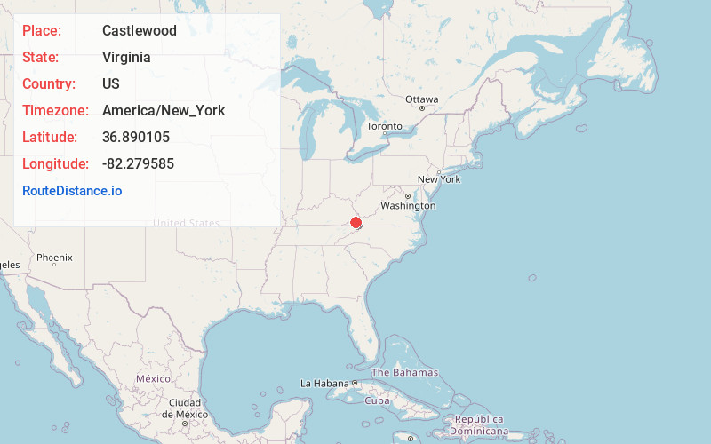
Full AddressCastlewood, VA 24224
-
Coordinates36.8901047, -82.2795854
-
LocationCastlewood , Virginia , US
-
TimezoneAmerica/New_York
-
Current Local Time10:58:45 PM America/New_YorkWednesday, June 18, 2025
-
Page Views0
About Castlewood
Castlewood is a census-designated place in western Russell County, Virginia, United States. The population was 2,045 at the 2010 census, a small increase from the 2,036 reported in 2000. Castlewood was an incorporated town from 1991 to 1997, when it reverted to unincorporated status.


Nearby Places
Found 10 places within 50 miles

St Paul
2.1 mi
3.4 km
St Paul, VA
Get directions

Coeburn
10.8 mi
17.4 km
Coeburn, VA 24230
Get directions

Lebanon
11.0 mi
17.7 km
Lebanon, VA 24266
Get directions

Wise
17.4 mi
28.0 km
Wise, VA 24293
Get directions

Honaker
19.0 mi
30.6 km
Honaker, VA 24260
Get directions

Norton
19.5 mi
31.4 km
Norton, VA
Get directions

Bristol
20.0 mi
32.2 km
Bristol, VA
Get directions

Clintwood
20.4 mi
32.8 km
Clintwood, VA 24228
Get directions

Abingdon
20.9 mi
33.6 km
Abingdon, VA
Get directions

Bristol
21.0 mi
33.8 km
Bristol, TN
Get directions
Location Links
Local Weather
Weather Information
Coming soon!
Location Map
Static map view of Castlewood, Virginia
Browse Places by Distance
Places within specific distances from Castlewood
Short Distances
Long Distances
Click any distance to see all places within that range from Castlewood. Distances shown in miles (1 mile ≈ 1.61 kilometers).