Distance to Catherine, Colorado

Calculating Your Route
Just a moment while we process your request...
Location Information
-
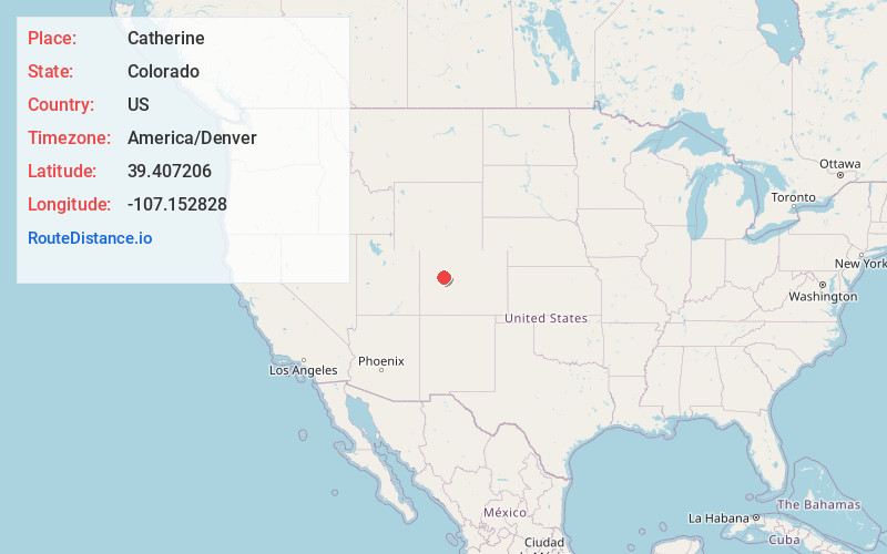
Full AddressCatherine, Mulford, CO 81623
-
Coordinates39.4072057, -107.1528278
-
LocationMulford , Colorado , US
-
TimezoneAmerica/Denver
-
Current Local Time7:42:38 PM America/DenverMonday, June 23, 2025
-
Page Views0
About Catherine
Catherine is a census-designated place in and governed by Garfield County, Colorado, United States. The CDP is a part of the Glenwood Springs, CO Micropolitan Statistical Area. The population of the Catherine CDP was 235 at the United States Census 2020. The Glenwood Springs post office serves the area.

Nearby Places
Found 10 places within 50 miles

Mulford
0.5 mi
0.8 km
Mulford, Catherine, CO 81623
Get directions

Carbondale
3.1 mi
5.0 km
Carbondale, CO 81623
Get directions

El Jebel
3.4 mi
5.5 km
El Jebel, CO
Get directions

Basalt
4.6 mi
7.4 km
Basalt, CO
Get directions
Cattle Creek
6.8 mi
10.9 km
Cattle Creek, CO 81601
Get directions

Glenwood Springs
13.5 mi
21.7 km
Glenwood Springs, CO 81601
Get directions

Dotsero
17.0 mi
27.4 km
Dotsero, CO 81637
Get directions

Snowmass Village
17.7 mi
28.5 km
Snowmass Village, CO
Get directions

Gypsum
19.7 mi
31.7 km
Gypsum, CO 81637
Get directions

Aspen
23.3 mi
37.5 km
Aspen, CO 81611
Get directions
Location Links
Local Weather
Weather Information
Coming soon!
Location Map
Static map view of Catherine, Colorado
Browse Places by Distance
Places within specific distances from Catherine
Short Distances
Long Distances
Click any distance to see all places within that range from Catherine. Distances shown in miles (1 mile ≈ 1.61 kilometers).