Distance to Cayuga, North Dakota

Calculating Your Route
Just a moment while we process your request...
Location Information
-
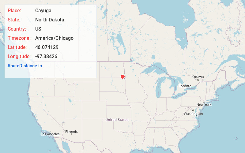
Full AddressCayuga, ND 58013
-
Coordinates46.0741286, -97.3842601
-
LocationCayuga , North Dakota , US
-
TimezoneAmerica/Chicago
-
Current Local Time5:00:34 PM America/ChicagoTuesday, June 3, 2025
-
Page Views0
About Cayuga
Cayuga is a city in Sargent County, North Dakota, United States. It sits on the banks of the Wild Rice River. The population was 40 at the 2020 census. Cayuga was founded in 1887.

Nearby Places
Found 10 places within 50 miles

Rutland
6.2 mi
10.0 km
Rutland, ND 58067
Get directions

Lidgerwood
11.1 mi
17.9 km
Lidgerwood, ND 58053
Get directions

Forman
12.3 mi
19.8 km
Forman, ND 58032
Get directions
Milnor
13.2 mi
21.2 km
Milnor, ND 58060
Get directions
Havana
14.1 mi
22.7 km
Havana, ND 58043
Get directions

Veblen
15.3 mi
24.6 km
Veblen, SD 57270
Get directions

Gwinner
17.0 mi
27.4 km
Gwinner, ND
Get directions
Wyndmere
18.0 mi
29.0 km
Wyndmere, ND 58081
Get directions

Cogswell
19.2 mi
30.9 km
Cogswell, ND 58017
Get directions

Claire City
20.2 mi
32.5 km
Claire City, SD 57262
Get directions
Location Links
Local Weather
Weather Information
Coming soon!
Location Map
Static map view of Cayuga, North Dakota
Browse Places by Distance
Places within specific distances from Cayuga
Short Distances
Long Distances
Click any distance to see all places within that range from Cayuga. Distances shown in miles (1 mile ≈ 1.61 kilometers).