Distance to and from Cebolla, New Mexico
Cebolla, NM 87518
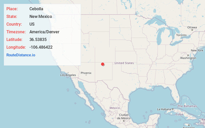
Cebolla
New Mexico
US
America/Denver
Location Information
-
Full AddressCebolla, NM 87518
-
Coordinates36.5383495, -106.4864216
-
LocationCebolla , New Mexico , US
-
TimezoneAmerica/Denver
-
Current Local Time6:36:56 PM America/DenverSunday, May 4, 2025
-
Page Views0
Directions to Nearest Cities
About Cebolla
Cebolla is an unincorporated community in Rio Arriba County, New Mexico. Cebolla is located on U.S. Route 84, 44 miles northwest of Española. Cebolla has a post office with ZIP code 87518.
Nearby Places
Found 10 places within 50 miles

Canjilon
4.9 mi
7.9 km
Canjilon, NM
Get directions

Tierra Amarilla
11.7 mi
18.8 km
Tierra Amarilla, NM 87551
Get directions

La Puente
12.8 mi
20.6 km
La Puente, NM 87551
Get directions

Plaza Blanca
13.3 mi
21.4 km
Plaza Blanca, NM 87551
Get directions

Ensenada
13.3 mi
21.4 km
Ensenada, NM 87551
Get directions

Los Ojos
14.0 mi
22.5 km
Los Ojos, NM 87551
Get directions

El Vado
14.0 mi
22.5 km
El Vado, NM 87575
Get directions
El Monte Rojo
14.1 mi
22.7 km
El Monte Rojo, NM 87510
Get directions
Crowther Cow Camp
15.0 mi
24.1 km
Crowther Cow Camp, NM 87575
Get directions
Vallecitos
20.7 mi
33.3 km
Vallecitos, NM 87581
Get directions
Canjilon
4.9 mi
7.9 km
Canjilon, NM
Tierra Amarilla
11.7 mi
18.8 km
Tierra Amarilla, NM 87551
La Puente
12.8 mi
20.6 km
La Puente, NM 87551
Plaza Blanca
13.3 mi
21.4 km
Plaza Blanca, NM 87551
Ensenada
13.3 mi
21.4 km
Ensenada, NM 87551
Los Ojos
14.0 mi
22.5 km
Los Ojos, NM 87551
El Vado
14.0 mi
22.5 km
El Vado, NM 87575
El Monte Rojo
14.1 mi
22.7 km
El Monte Rojo, NM 87510
Crowther Cow Camp
15.0 mi
24.1 km
Crowther Cow Camp, NM 87575
Vallecitos
20.7 mi
33.3 km
Vallecitos, NM 87581
Location Links
Local Weather
Weather Information
Coming soon!
Location Map
Static map view of Cebolla, New Mexico
Browse Places by Distance
Places within specific distances from Cebolla
Short Distances
Long Distances
Click any distance to see all places within that range from Cebolla. Distances shown in miles (1 mile ≈ 1.61 kilometers).