Distance to Cedar Bluff, Kentucky

Calculating Your Route
Just a moment while we process your request...
Location Information
-
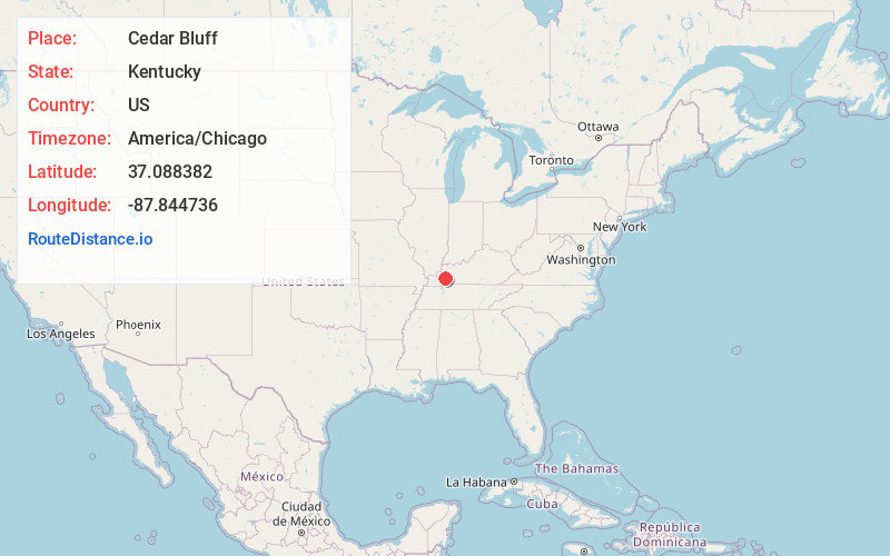
Full AddressCedar Bluff, KY 42445
-
Coordinates37.0883823, -87.8447361
-
LocationKentucky , US
-
TimezoneAmerica/Chicago
-
Current Local Time12:33:04 PM America/ChicagoSunday, June 8, 2025
-
Page Views0
Nearby Places
Found 10 places within 50 miles

McGowan
2.1 mi
3.4 km
McGowan, KY 42445
Get directions

Pumpkin Center
2.5 mi
4.0 km
Pumpkin Center, Princeton, KY 42445
Get directions

Princeton
2.5 mi
4.0 km
Princeton, KY 42445
Get directions
Walche Cut
2.6 mi
4.2 km
Walche Cut, KY 42408
Get directions
Crowtown
3.8 mi
6.1 km
Crowtown, Princeton, KY 42445
Get directions
Otter Pond
4.4 mi
7.1 km
Otter Pond, KY 42445
Get directions

Claxton
4.5 mi
7.2 km
Claxton, KY 42408
Get directions
Lewistown
4.5 mi
7.2 km
Lewistown, KY 42445
Get directions
Friendship
4.8 mi
7.7 km
Friendship, KY 42445
Get directions
Caldwell County
5.1 mi
8.2 km
Caldwell County, KY
Get directions
Location Links
Local Weather
Weather Information
Coming soon!
Location Map
Static map view of Cedar Bluff, Kentucky
Browse Places by Distance
Places within specific distances from Cedar Bluff
Short Distances
Long Distances
Click any distance to see all places within that range from Cedar Bluff. Distances shown in miles (1 mile ≈ 1.61 kilometers).