Distance to Cedar Cliff High School, Pennsylvania

Calculating Your Route
Just a moment while we process your request...
Location Information
-
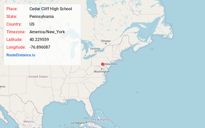
Full AddressCedar Cliff High School, 1301 Carlisle Rd, Camp Hill, PA 17011
-
Coordinates40.2295587, -76.8960867
-
Street1301 Carlisle Rd
-
LocationCamp Hill , Pennsylvania , US
-
TimezoneAmerica/New_York
-
Current Local Time3:45:09 PM America/New_YorkSaturday, June 7, 2025
-
Page Views0


Nearby Places
Found 10 places within 50 miles

Lower Allen
0.3 mi
0.5 km
Lower Allen, PA
Get directions
Eberlys Mill
0.6 mi
1.0 km
Eberlys Mill, Lower Allen, PA 17011
Get directions

New Cumberland
0.6 mi
1.0 km
New Cumberland, PA 17070
Get directions

Lemoyne
0.8 mi
1.3 km
Lemoyne, PA
Get directions
Fort Couch
1.2 mi
1.9 km
Fort Couch, Lemoyne, PA 17043
Get directions

Camp Hill
1.4 mi
2.3 km
Camp Hill, PA 17011
Get directions
New Market
2.4 mi
3.9 km
New Market, PA 17070
Get directions

Wormleysburg
2.5 mi
4.0 km
Wormleysburg, PA
Get directions

Steelton
2.9 mi
4.7 km
Steelton, PA 17113
Get directions

Harrisburg
3.1 mi
5.0 km
Harrisburg, PA
Get directions
Location Links
Local Weather
Weather Information
Coming soon!
Location Map
Static map view of Cedar Cliff High School, Pennsylvania
Browse Places by Distance
Places within specific distances from Cedar Cliff High School
Short Distances
Long Distances
Click any distance to see all places within that range from Cedar Cliff High School. Distances shown in miles (1 mile ≈ 1.61 kilometers).