Distance to Cedar Creek, Texas

Calculating Your Route
Just a moment while we process your request...
Location Information
-
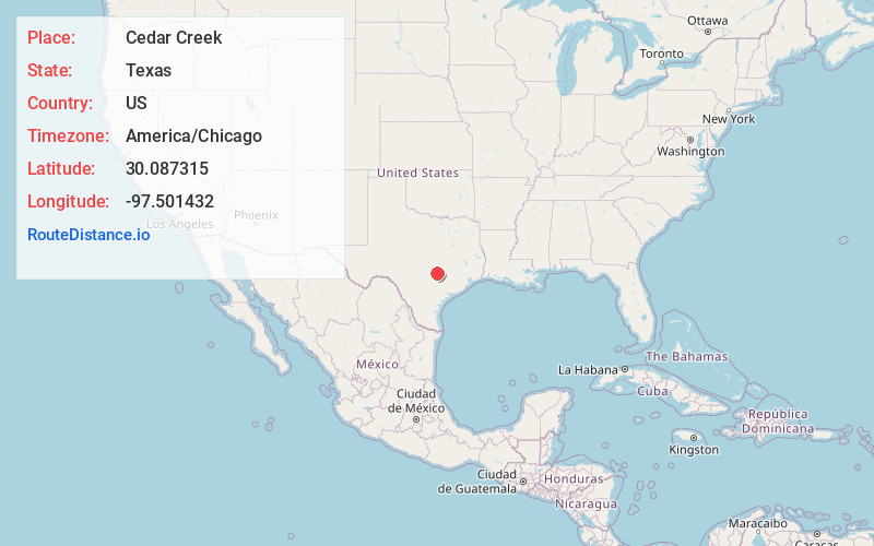
Full AddressCedar Creek, TX
-
Coordinates30.0873153, -97.501432
-
LocationCedar Creek , Texas , US
-
TimezoneAmerica/Chicago
-
Current Local Time5:54:24 PM America/ChicagoThursday, June 19, 2025
-
Page Views0
About Cedar Creek
Cedar Creek is an census-designated place in Bastrop County, Texas, United States. It is located about 11 miles west of the city of Bastrop. The community takes its name from Cedar Creek, a tributary of the Colorado River that is close to the area.


Nearby Places
Found 10 places within 50 miles

Wyldwood
3.4 mi
5.5 km
Wyldwood, TX
Get directions

Bastrop
11.2 mi
18.0 km
Bastrop, TX 78602
Get directions

Camp Swift
14.4 mi
23.2 km
Camp Swift, TX 78602
Get directions

Lockhart
17.2 mi
27.7 km
Lockhart, TX 78644
Get directions

Manor
17.9 mi
28.8 km
Manor, TX
Get directions

Austin
19.0 mi
30.6 km
Austin, TX
Get directions

Elgin
19.7 mi
31.7 km
Elgin, TX 78621
Get directions

Buda
20.4 mi
32.8 km
Buda, TX
Get directions

Smithville
21.2 mi
34.1 km
Smithville, TX 78957
Get directions

Kyle
23.5 mi
37.8 km
Kyle, TX
Get directions
Location Links
Local Weather
Weather Information
Coming soon!
Location Map
Static map view of Cedar Creek, Texas
Browse Places by Distance
Places within specific distances from Cedar Creek
Short Distances
Long Distances
Click any distance to see all places within that range from Cedar Creek. Distances shown in miles (1 mile ≈ 1.61 kilometers).