Distance to Cedar Creek, Nebraska

Calculating Your Route
Just a moment while we process your request...
Location Information
-
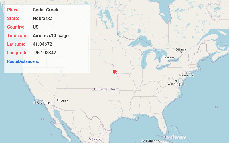
Full AddressCedar Creek, NE 68037
-
Coordinates41.0467204, -96.1023468
-
LocationCedar Creek , Nebraska , US
-
TimezoneAmerica/Chicago
-
Current Local Time4:26:04 AM America/ChicagoWednesday, June 18, 2025
-
Page Views0
About Cedar Creek
Cedar Creek is a village in Cass County, Nebraska, United States. The population was 465 at the 2020 census.


Nearby Places
Found 10 places within 50 miles

Springfield
2.9 mi
4.7 km
Springfield, NE 68059
Get directions

Louisville
4.2 mi
6.8 km
Louisville, NE 68037
Get directions

Papillion
8.1 mi
13.0 km
Papillion, NE
Get directions

La Vista
9.4 mi
15.1 km
La Vista, NE
Get directions
Chalco
9.8 mi
15.8 km
Chalco, NE 68138
Get directions

Gretna
9.9 mi
15.9 km
Gretna, NE
Get directions

Offutt AFB
11.2 mi
18.0 km
Offutt AFB, NE
Get directions

Plattsmouth
11.8 mi
19.0 km
Plattsmouth, NE 68048
Get directions

Bellevue
11.9 mi
19.2 km
Bellevue, NE
Get directions

Weeping Water
12.4 mi
20.0 km
Weeping Water, NE 68463
Get directions
Location Links
Local Weather
Weather Information
Coming soon!
Location Map
Static map view of Cedar Creek, Nebraska
Browse Places by Distance
Places within specific distances from Cedar Creek
Short Distances
Long Distances
Click any distance to see all places within that range from Cedar Creek. Distances shown in miles (1 mile ≈ 1.61 kilometers).