Distance to Cedar Creek, Utah

Calculating Your Route
Just a moment while we process your request...
Location Information
-
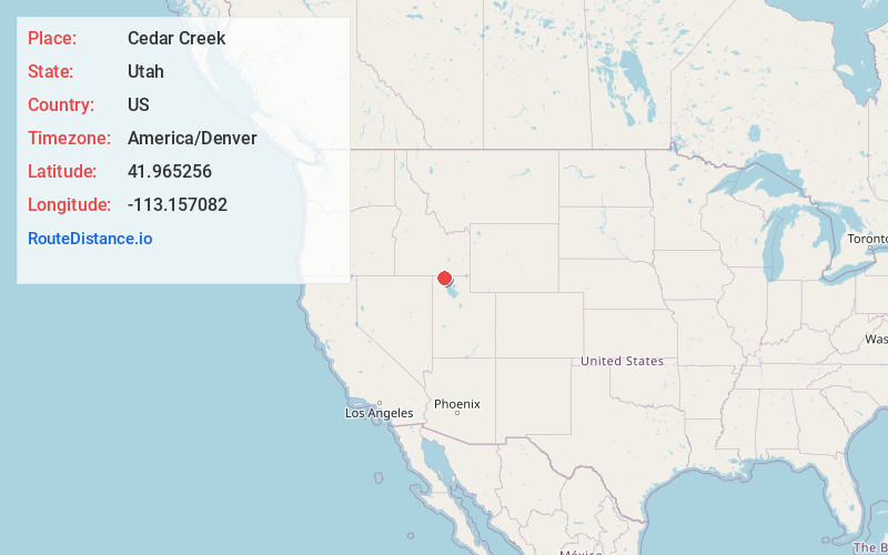
Full AddressCedar Creek, UT 83342
-
Coordinates41.9652559, -113.157082
-
LocationCedar Creek , Utah , US
-
TimezoneAmerica/Denver
-
Current Local Time7:36:42 PM America/DenverThursday, June 19, 2025
-
Page Views0
About Cedar Creek
Cedar Creek is a ghost town in Box Elder County, Utah, United States. Founded in the 1860s, Cedar Creek was a farming town. Businesses included a school, an inn, and a store. The interstate highway system built through Cedar Creek and the nearby communities of Snowville and Park Valley.
Nearby Places
Found 10 places within 50 miles

Hardup
4.8 mi
7.7 km
Hardup, UT 84329
Get directions
Black Pine
11.7 mi
18.8 km
Black Pine, ID 83252
Get directions

Standrod
13.6 mi
21.9 km
Standrod, UT 83342
Get directions

Park Valley
13.6 mi
21.9 km
Park Valley, UT 84329
Get directions

Snowville
23.0 mi
37.0 km
Snowville, UT 84336
Get directions

Malta
26.0 mi
41.8 km
Malta, ID 83342
Get directions

Holbrook
29.2 mi
47.0 km
Holbrook, ID 83243
Get directions
Matlin
29.9 mi
48.1 km
Matlin, UT
Get directions
Roy
32.2 mi
51.8 km
Roy, ID 83271
Get directions
Ireland Springs
36.6 mi
58.9 km
Ireland Springs, ID 83252
Get directions
Location Links
Local Weather
Weather Information
Coming soon!
Location Map
Static map view of Cedar Creek, Utah
Browse Places by Distance
Places within specific distances from Cedar Creek
Short Distances
Long Distances
Click any distance to see all places within that range from Cedar Creek. Distances shown in miles (1 mile ≈ 1.61 kilometers).