Distance to Cedar, Arizona

Calculating Your Route
Just a moment while we process your request...
Location Information
-
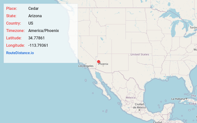
Full AddressCedar, AZ 86438
-
Coordinates34.77861, -113.79361
-
LocationCedar , Arizona , US
-
TimezoneAmerica/Phoenix
-
Current Local Time10:16:55 AM America/PhoenixSaturday, May 31, 2025
-
Page Views0
About Cedar
Cedar was a gold, silver and copper mining town in Mohave County, Arizona, United States. It was founded circa 1875 on the eastern slope of the Hualapai Mountains, sixty miles southeast of Kingman. A post office was established on September 24, 1895, and closed on July 31, 1911.
Nearby Places
Found 10 places within 50 miles

Wikieup
11.5 mi
18.5 km
Wikieup, AZ 85360
Get directions

Yucca
21.2 mi
34.1 km
Yucca, AZ 86438
Get directions

Greenwood
21.9 mi
35.2 km
Greenwood, AZ 86438
Get directions

Franconia Wash
26.6 mi
42.8 km
Franconia Wash, Arizona 86436
Get directions

Griffith
27.0 mi
43.5 km
Griffith, AZ 86401
Get directions
Goodwater Tank
27.7 mi
44.6 km
Goodwater Tank, Arizona 85360
Get directions

McConnico
30.4 mi
48.9 km
McConnico, AZ
Get directions

Kingman
32.1 mi
51.7 km
Kingman, AZ
Get directions
Powell
33.2 mi
53.4 km
Powell, AZ 86436
Get directions

New Kingman-Butler
35.6 mi
57.3 km
New Kingman-Butler, AZ 86409
Get directions
Location Links
Local Weather
Weather Information
Coming soon!
Location Map
Static map view of Cedar, Arizona
Browse Places by Distance
Places within specific distances from Cedar
Short Distances
Long Distances
Click any distance to see all places within that range from Cedar. Distances shown in miles (1 mile ≈ 1.61 kilometers).