Distance to Cedar Grove, Colorado

Calculating Your Route
Just a moment while we process your request...
Location Information
-
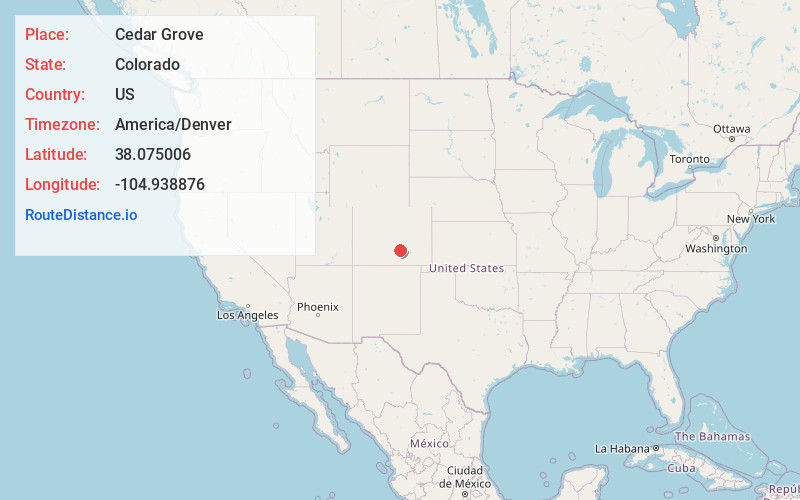
Full AddressCedar Grove, CO 81023
-
Coordinates38.0750063, -104.9388756
-
LocationColorado , US
-
TimezoneAmerica/Denver
-
Current Local Time9:40:30 AM America/DenverWednesday, June 18, 2025
-
Page Views0
Nearby Places
Found 10 places within 50 miles

Goodpasture
1.2 mi
1.9 km
Goodpasture, CO 81023
Get directions

Beulah Valley
2.6 mi
4.2 km
Beulah Valley, CO 81023
Get directions
Burnt Mill
7.9 mi
12.7 km
Burnt Mill, CO 81005
Get directions

Rye
10.5 mi
16.9 km
Rye, CO 81069
Get directions

Colorado City
10.6 mi
17.1 km
Colorado City, CO
Get directions
Cuerna Verde Park
10.7 mi
17.2 km
Cuerna Verde Park, CO 81069
Get directions
Sikes
14.7 mi
23.7 km
Sikes, CO 81253
Get directions
Apache City
16.1 mi
25.9 km
Apache City, CO 81069
Get directions
Cold Spring
17.3 mi
27.8 km
Cold Spring, CO 81252
Get directions
Goodnight
19.5 mi
31.4 km
Goodnight, CO 81005
Get directions
Location Links
Local Weather
Weather Information
Coming soon!
Location Map
Static map view of Cedar Grove, Colorado
Browse Places by Distance
Places within specific distances from Cedar Grove
Short Distances
Long Distances
Click any distance to see all places within that range from Cedar Grove. Distances shown in miles (1 mile ≈ 1.61 kilometers).