Distance to Cedar Hill Camp, Massachusetts

Calculating Your Route
Just a moment while we process your request...
Location Information
-
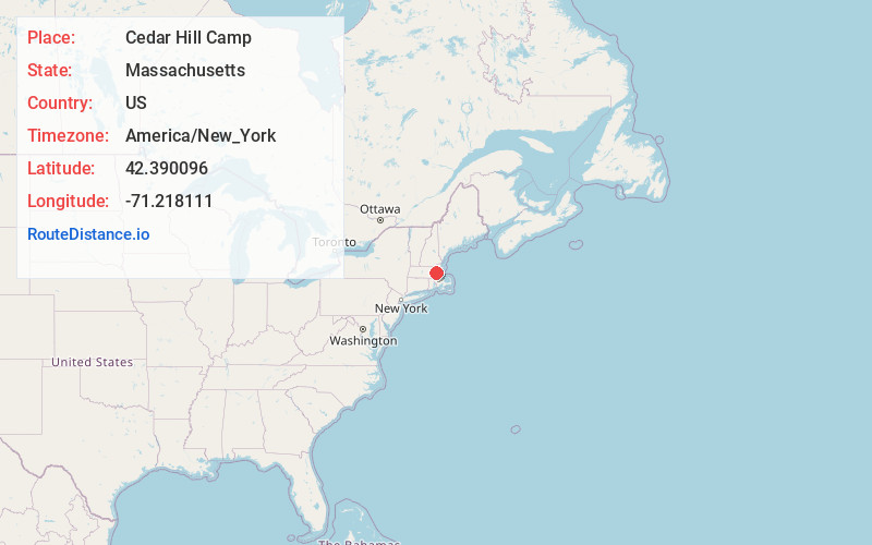
Full AddressCedar Hill Camp, Waltham, MA 02452
-
Coordinates42.3900962, -71.2181109
-
LocationWaltham , Massachusetts , US
-
TimezoneAmerica/New_York
-
Current Local Time1:46:19 AM America/New_YorkFriday, June 20, 2025
-
Page Views0
Nearby Places
Found 10 places within 50 miles

Waltham
1.3 mi
2.1 km
Waltham, MA
Get directions

Belmont
2.1 mi
3.4 km
Belmont, MA
Get directions

Watertown
2.2 mi
3.5 km
Watertown, MA
Get directions

Arlington
3.6 mi
5.8 km
Arlington, MA
Get directions

Newton
3.7 mi
6.0 km
Newton, MA
Get directions

Lexington
4.0 mi
6.4 km
Lexington, MA
Get directions

Weston
4.6 mi
7.4 km
Weston, MA 02493
Get directions

Lincoln
5.0 mi
8.0 km
Lincoln, MA
Get directions

Washington Square
5.5 mi
8.9 km
Washington Square, Brookline, MA
Get directions

Cambridge
6.0 mi
9.7 km
Cambridge, MA
Get directions
Location Links
Local Weather
Weather Information
Coming soon!
Location Map
Static map view of Cedar Hill Camp, Massachusetts
Browse Places by Distance
Places within specific distances from Cedar Hill Camp
Short Distances
Long Distances
Click any distance to see all places within that range from Cedar Hill Camp. Distances shown in miles (1 mile ≈ 1.61 kilometers).