Distance to Cedar Hills, Oregon

Calculating Your Route
Just a moment while we process your request...
Location Information
-
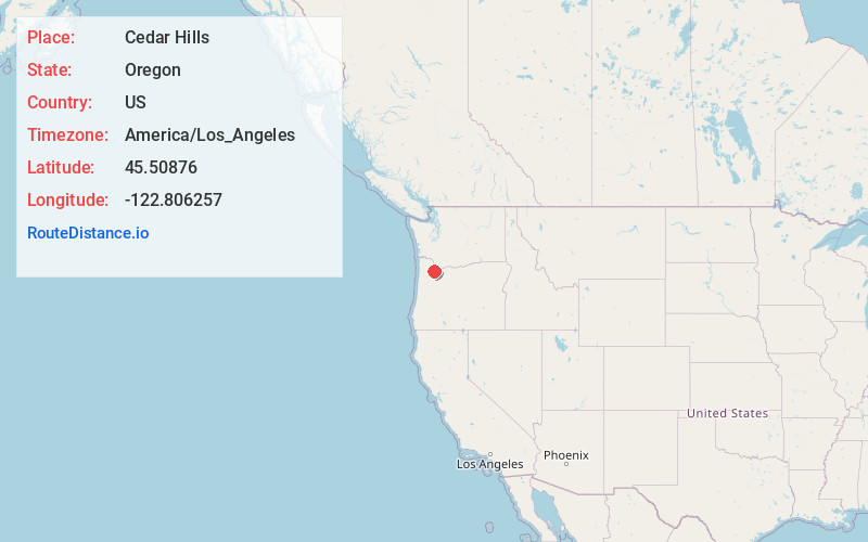
Full AddressCedar Hills, OR
-
Coordinates45.5087595, -122.8062573
-
LocationCedar Hills , Oregon , US
-
TimezoneAmerica/Los_Angeles
-
Current Local Time2:20:37 PM America/Los_AngelesWednesday, July 2, 2025
-
Page Views0
About Cedar Hills
Cedar Hills is a census-designated place and neighborhood in Washington County, Oregon, United States south of U.S. Route 26 and west of Oregon Route 217 and within the Portland metropolitan area. Construction began in 1946.


Nearby Places
Found 10 places within 50 miles

Beaverton
1.5 mi
2.4 km
Beaverton, OR
Get directions

Aloha
3.1 mi
5.0 km
Aloha, OR
Get directions

Tigard
5.8 mi
9.3 km
Tigard, OR
Get directions

Portland
6.2 mi
10.0 km
Portland, OR
Get directions

Hillsboro
8.9 mi
14.3 km
Hillsboro, OR
Get directions

Tualatin
9.0 mi
14.5 km
Tualatin, OR
Get directions

Milwaukie
9.3 mi
15.0 km
Milwaukie, OR
Get directions

Lake Oswego
9.3 mi
15.0 km
Lake Oswego, OR
Get directions

Oak Grove
10.3 mi
16.6 km
Oak Grove, OR
Get directions

Vancouver
10.4 mi
16.7 km
Vancouver, WA
Get directions
Location Links
Local Weather
Weather Information
Coming soon!
Location Map
Static map view of Cedar Hills, Oregon
Browse Places by Distance
Places within specific distances from Cedar Hills
Short Distances
Long Distances
Click any distance to see all places within that range from Cedar Hills. Distances shown in miles (1 mile ≈ 1.61 kilometers).