Distance to Cedar Lane, Texas

Calculating Your Route
Just a moment while we process your request...
Location Information
-
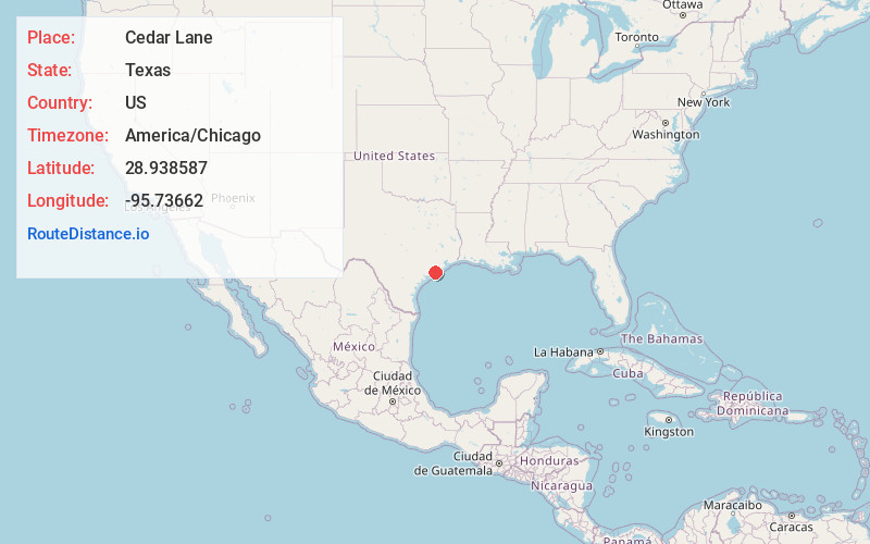
Full AddressCedar Lane, TX 77414
-
Coordinates28.9385874, -95.7366201
-
LocationCedar Lane , Texas , US
-
TimezoneAmerica/Chicago
-
Current Local Time10:41:32 PM America/ChicagoTuesday, May 27, 2025
-
Page Views0
About Cedar Lane
Cedar Lane is an unincorporated community in Matagorda County, Texas, United States.
Nearby Places
Found 10 places within 50 miles

Hawkinsville
5.4 mi
8.7 km
Hawkinsville, TX 77414
Get directions
Cedar Lake
6.6 mi
10.6 km
Cedar Lake, TX 77422
Get directions
Sweeny
7.3 mi
11.7 km
Sweeny, TX 77480
Get directions
Allenhurst
8.1 mi
13.0 km
Allenhurst, TX 77414
Get directions

Sargent
8.4 mi
13.5 km
Sargent, TX 77414
Get directions
Old Ocean
9.8 mi
15.8 km
Old Ocean, TX 77480
Get directions
Sugar Valley
10.6 mi
17.1 km
Sugar Valley, TX 77480
Get directions

Van Vleck
10.7 mi
17.2 km
Van Vleck, TX
Get directions

Wild Peach Village
11.8 mi
19.0 km
Wild Peach Village, TX 77422
Get directions

Brazoria
12.5 mi
20.1 km
Brazoria, TX 77422
Get directions
Location Links
Local Weather
Weather Information
Coming soon!
Location Map
Static map view of Cedar Lane, Texas
Browse Places by Distance
Places within specific distances from Cedar Lane
Short Distances
Long Distances
Click any distance to see all places within that range from Cedar Lane. Distances shown in miles (1 mile ≈ 1.61 kilometers).