Distance to Cedar Mill, Arizona

Calculating Your Route
Just a moment while we process your request...
Location Information
-
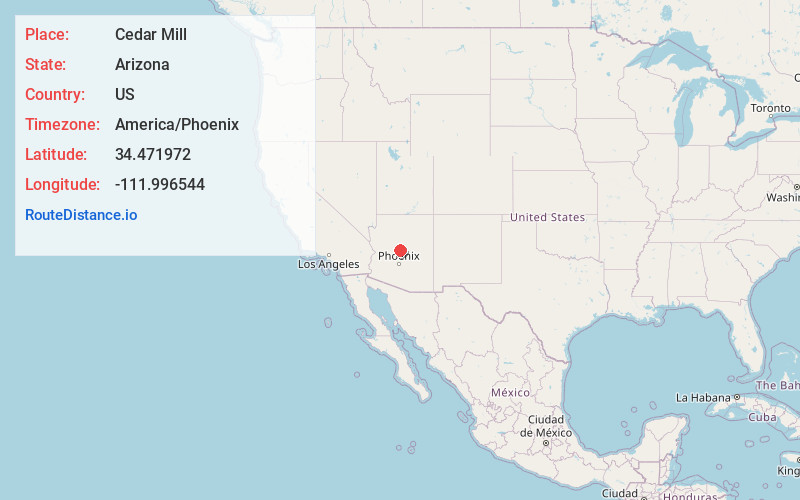
Full AddressCedar Mill, AZ 86327
-
Coordinates34.4719716, -111.9965437
-
LocationArizona , US
-
TimezoneAmerica/Phoenix
-
Current Local Time3:49:57 AM America/PhoenixSaturday, June 21, 2025
-
Page Views0
Nearby Places
Found 10 places within 50 miles

Flower Pot
2.6 mi
4.2 km
Flower Pot, AZ 86327
Get directions
Dugas
7.7 mi
12.4 km
Dugas, AZ 86333
Get directions
Jordan Meadows
8.8 mi
14.2 km
Jordan Meadows, Camp Verde, AZ 86322
Get directions
Fort Verde Estates
9.3 mi
15.0 km
Fort Verde Estates, Camp Verde, AZ 86322
Get directions
Security Acres
9.3 mi
15.0 km
Security Acres, Camp Verde, AZ 86322
Get directions
Country Estates
9.5 mi
15.3 km
Country Estates, Camp Verde, AZ 86322
Get directions
Mountain View Estates
10.1 mi
16.3 km
Mountain View Estates, Camp Verde, AZ 86322
Get directions
Reddells Ranch Acres
10.3 mi
16.6 km
Reddells Ranch Acres, Camp Verde, AZ 86322
Get directions

Camp Verde
10.3 mi
16.6 km
Camp Verde, AZ 86322
Get directions

Clear Creek
10.7 mi
17.2 km
Clear Creek, Camp Verde, AZ 86322
Get directions
Location Links
Local Weather
Weather Information
Coming soon!
Location Map
Static map view of Cedar Mill, Arizona
Browse Places by Distance
Places within specific distances from Cedar Mill
Short Distances
Long Distances
Click any distance to see all places within that range from Cedar Mill. Distances shown in miles (1 mile ≈ 1.61 kilometers).