Distance to Cedar Springs, New Jersey

Calculating Your Route
Just a moment while we process your request...
Location Information
-
Full AddressCedar Springs, Upper Township, NJ 08230
-
Coordinates39.2453926, -74.7068281
-
LocationUpper Township , New Jersey , US
-
TimezoneAmerica/New_York
-
Current Local Time6:50:40 PM America/New_YorkTuesday, June 17, 2025
-
Page Views0
Nearby Places
Found 10 places within 50 miles

Upper Township
2.5 mi
4.0 km
Upper Township, NJ
Get directions

Corbin City
4.8 mi
7.7 km
Corbin City, NJ
Get directions

Woodbine
5.8 mi
9.3 km
Woodbine, NJ 08270
Get directions

Sea Isle City
6.3 mi
10.1 km
Sea Isle City, NJ 08243
Get directions
Scullville
7.1 mi
11.4 km
Scullville, Egg Harbor Township, NJ 08234
Get directions
Warners Mill
7.1 mi
11.4 km
Warners Mill, Estell Manor, NJ 08270
Get directions

Dennis
7.2 mi
11.6 km
Dennis, NJ
Get directions

Somers Point
7.3 mi
11.7 km
Somers Point, NJ
Get directions

Ocean City
7.3 mi
11.7 km
Ocean City, NJ
Get directions
Scull Landing
8.3 mi
13.4 km
Scull Landing, Egg Harbor Township, NJ 08234
Get directions
Location Links
Local Weather
Weather Information
Coming soon!
Location Map
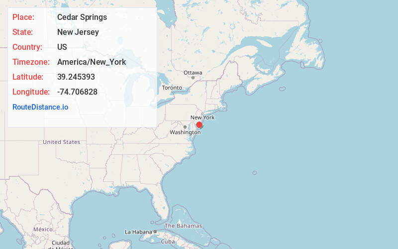
Static map view of Cedar Springs, New Jersey
Browse Places by Distance
Places within specific distances from Cedar Springs
Short Distances
Long Distances
Click any distance to see all places within that range from Cedar Springs. Distances shown in miles (1 mile ≈ 1.61 kilometers).