Distance to Cedar Township, Illinois

Calculating Your Route
Just a moment while we process your request...
Location Information
-
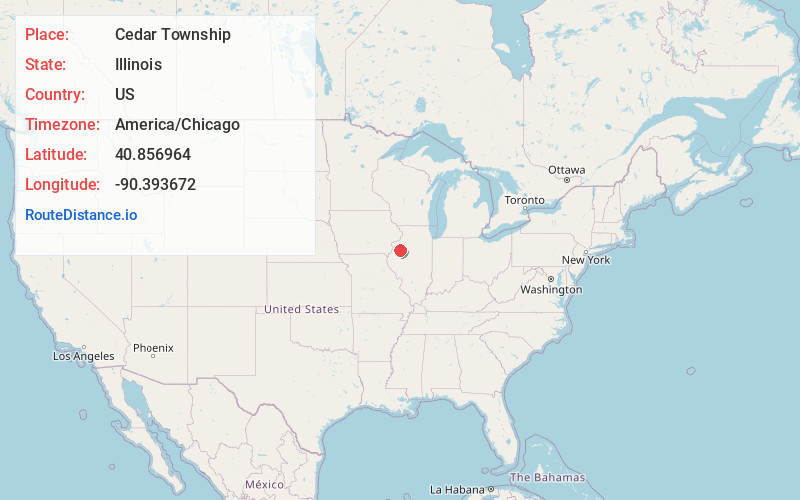
Full AddressCedar Township, IL
-
Coordinates40.8569643, -90.3936722
-
LocationCedar Township , Illinois , US
-
TimezoneAmerica/Chicago
-
Current Local Time12:50:34 PM America/ChicagoSunday, June 1, 2025
-
Page Views0
About Cedar Township
Cedar Township is one of twenty-one townships in Knox County, Illinois, USA. As of the 2010 census, its population was 3,270 and it contained 1,487 housing units. Its name was changed from Cherry Grove Township on June 8, 1853.
Nearby Places
Found 10 places within 50 miles

Saluda
1.0 mi
1.6 km
Saluda, Cedar Township, IL 61401
Get directions
Abingdon
3.7 mi
6.0 km
Abingdon, IL 61410
Get directions
Delong
5.4 mi
8.7 km
Delong, IL 61436
Get directions
Surrey
5.4 mi
8.7 km
Surrey, Coldbrook Township, IL 61423
Get directions
Indian Point Township
5.6 mi
9.0 km
Indian Point Township, IL
Get directions

Galesburg
6.4 mi
10.3 km
Galesburg, IL 61401
Get directions
Knoxville
6.7 mi
10.8 km
Knoxville, IL
Get directions

Cameron
6.8 mi
10.9 km
Cameron, IL 61423
Get directions

East Galesburg
7.6 mi
12.2 km
East Galesburg, IL
Get directions
Hermon
7.9 mi
12.7 km
Hermon, IL 61458
Get directions
Location Links
Local Weather
Weather Information
Coming soon!
Location Map
Static map view of Cedar Township, Illinois
Browse Places by Distance
Places within specific distances from Cedar Township
Short Distances
Long Distances
Click any distance to see all places within that range from Cedar Township. Distances shown in miles (1 mile ≈ 1.61 kilometers).