Distance to Cedar Valley, Ohio

Calculating Your Route
Just a moment while we process your request...
Location Information
-
Full AddressCedar Valley, Chester Township, OH 44287
-
Coordinates40.8722787, -82.0245925
-
LocationChester Township , Ohio , US
-
TimezoneAmerica/New_York
-
Current Local Time2:52:06 PM America/New_YorkTuesday, June 24, 2025
-
Page Views1
Nearby Places
Found 10 places within 50 miles

Congress
4.0 mi
6.4 km
Congress, OH 44287
Get directions

Wooster
6.8 mi
10.9 km
Wooster, OH 44691
Get directions

West Salem
8.2 mi
13.2 km
West Salem, OH 44287
Get directions

Burbank
8.2 mi
13.2 km
Burbank, OH 44214
Get directions

Smithville
8.5 mi
13.7 km
Smithville, OH 44677
Get directions
Guerne
10.1 mi
16.3 km
Guerne, Franklin Township, OH 44691
Get directions

Jeromesville
10.1 mi
16.3 km
Jeromesville, OH 44840
Get directions

Creston
10.5 mi
16.9 km
Creston, OH 44217
Get directions
Polk
11.1 mi
17.9 km
Polk, OH 44866
Get directions

Lodi
11.2 mi
18.0 km
Lodi, OH 44254
Get directions
Location Links
Local Weather
Weather Information
Coming soon!
Location Map
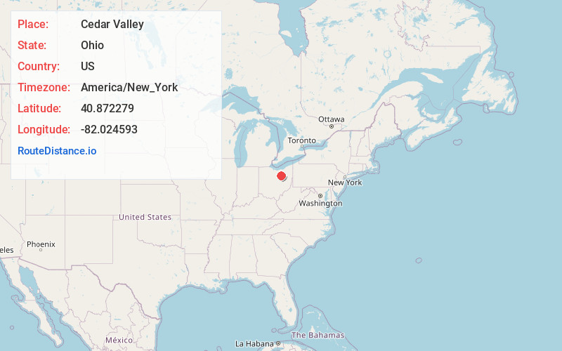
Static map view of Cedar Valley, Ohio
Browse Places by Distance
Places within specific distances from Cedar Valley
Short Distances
Long Distances
Click any distance to see all places within that range from Cedar Valley. Distances shown in miles (1 mile ≈ 1.61 kilometers).