Distance to Cedarbrook, Pennsylvania

Calculating Your Route
Just a moment while we process your request...
Location Information
-
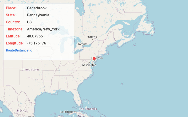
Full AddressCedarbrook, Philadelphia, PA 19150
-
Coordinates40.07955, -75.176176
-
NeighborhoodCedarbrook
-
LocationPhiladelphia , Pennsylvania , US
-
TimezoneAmerica/New_York
-
Current Local Time1:13:34 AM America/New_YorkWednesday, June 18, 2025
-
Page Views0
About Cedarbrook
Cedarbrook is an unincorporated community in Cheltenham Township in Montgomery County, Pennsylvania, United States. Cedarbrook is located at the intersection of Pennsylvania Route 309 and Greenwood Avenue, just over the city line of Philadelphia.
Nearby Places
Found 10 places within 50 miles

Wyndmoor
0.7 mi
1.1 km
Wyndmoor, PA 19038
Get directions

Chelten Hills
1.6 mi
2.6 km
Chelten Hills, Elkins Park, PA 19027
Get directions

Wyncote
1.8 mi
2.9 km
Wyncote, PA 19095
Get directions

Glenside
1.9 mi
3.1 km
Glenside, PA
Get directions

Cheltenham Township
2.1 mi
3.4 km
Cheltenham Township, PA
Get directions

Flourtown
2.2 mi
3.5 km
Flourtown, PA
Get directions
North Hills
2.3 mi
3.7 km
North Hills, PA 19038
Get directions

Oreland
2.7 mi
4.3 km
Oreland, PA
Get directions


Leaflet © OpenStreetMap contributors
Location Links
Local Weather
Weather Information
Coming soon!
Location Map
Static map view of Cedarbrook, Pennsylvania
Browse Places by Distance
Places within specific distances from Cedarbrook
Short Distances
Long Distances
Click any distance to see all places within that range from Cedarbrook. Distances shown in miles (1 mile ≈ 1.61 kilometers).