Distance to Cedarburg, Wisconsin

Calculating Your Route
Just a moment while we process your request...
Location Information
-
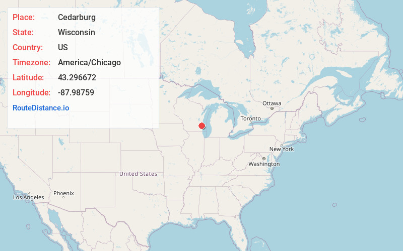
Full AddressCedarburg, WI
-
Coordinates43.2966716, -87.9875898
-
LocationCedarburg , Wisconsin , US
-
TimezoneAmerica/Chicago
-
Current Local Time12:03:49 AM America/ChicagoThursday, June 19, 2025
-
Page Views0
About Cedarburg
Cedarburg is a city in Ozaukee County, Wisconsin, United States. Located about 20 miles north of Milwaukee and in close proximity to Interstate 43, it is a suburb in the Milwaukee metropolitan area. The city incorporated in 1885, and at the time of the 2020 census the population was 12,121.


Nearby Places
Found 10 places within 50 miles

Mequon
6.0 mi
9.7 km
Mequon, WI
Get directions

Germantown
7.8 mi
12.6 km
Germantown, WI
Get directions

Port Washington
8.4 mi
13.5 km
Port Washington, WI
Get directions

Brown Deer
9.3 mi
15.0 km
Brown Deer, WI
Get directions

Glendale
11.5 mi
18.5 km
Glendale, WI
Get directions

West Bend
13.3 mi
21.4 km
West Bend, WI
Get directions

Whitefish Bay
13.4 mi
21.6 km
Whitefish Bay, WI
Get directions

Richfield
14.4 mi
23.2 km
Richfield, WI
Get directions

Shorewood
15.2 mi
24.5 km
Shorewood, WI
Get directions

Wauwatosa
17.1 mi
27.5 km
Wauwatosa, WI
Get directions
Location Links
Local Weather
Weather Information
Coming soon!
Location Map
Static map view of Cedarburg, Wisconsin
Browse Places by Distance
Places within specific distances from Cedarburg
Short Distances
Long Distances
Click any distance to see all places within that range from Cedarburg. Distances shown in miles (1 mile ≈ 1.61 kilometers).