Distance to Cedarville Landing, Massachusetts

Calculating Your Route
Just a moment while we process your request...
Location Information
-
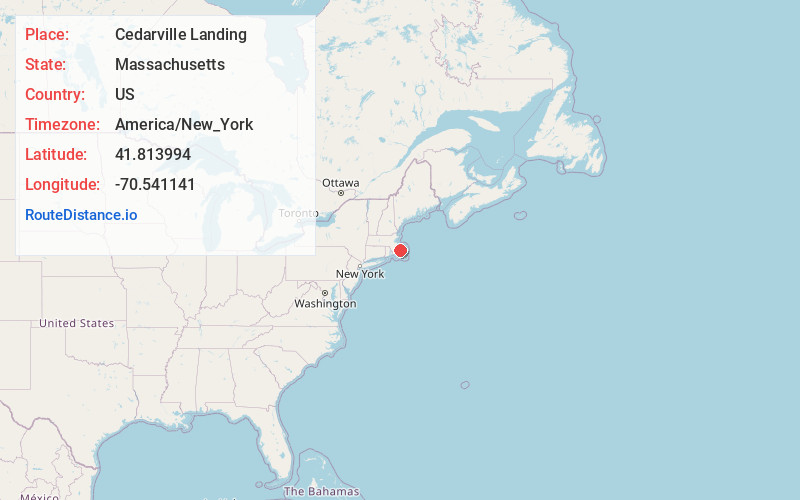
Full AddressCedarville Landing, Plymouth, MA 02360
-
Coordinates41.8139944, -70.5411407
-
LocationPlymouth , Massachusetts , US
-
TimezoneAmerica/New_York
-
Current Local Time3:27:33 AM America/New_YorkSaturday, May 31, 2025
-
Page Views0
Nearby Places
Found 10 places within 50 miles

Eastland Heights
2.5 mi
4.0 km
Eastland Heights, Plymouth, MA 02360
Get directions
Bayside Beach
3.7 mi
6.0 km
Bayside Beach, Plymouth, MA 02360
Get directions

Sandwich
4.1 mi
6.6 km
Sandwich, MA
Get directions

Halfway Pond
4.6 mi
7.4 km
Halfway Pond, Plymouth, MA 02360
Get directions
Shallow Pond
5.3 mi
8.5 km
Shallow Pond, Plymouth, MA 02360
Get directions

Manomet Beach
5.4 mi
8.7 km
Manomet Beach, Plymouth, MA 02360
Get directions

Bourne
5.5 mi
8.9 km
Bourne, MA
Get directions

Cedar Bushes
5.8 mi
9.3 km
Cedar Bushes, Plymouth, MA 02360
Get directions
Churchill Landing
6.0 mi
9.7 km
Churchill Landing, Plymouth, MA 02360
Get directions
Fishermans Landing
6.4 mi
10.3 km
Fishermans Landing, Plymouth, MA 02360
Get directions
Location Links
Local Weather
Weather Information
Coming soon!
Location Map
Static map view of Cedarville Landing, Massachusetts
Browse Places by Distance
Places within specific distances from Cedarville Landing
Short Distances
Long Distances
Click any distance to see all places within that range from Cedarville Landing. Distances shown in miles (1 mile ≈ 1.61 kilometers).