Distance to and from Cedrum, Alabama
Cedrum, AL 35587
Alabama
US
America/Chicago
Location Information
-
Full AddressCedrum, AL 35587
-
Coordinates33.8514972, -87.4466759
-
LocationAlabama , US
-
TimezoneAmerica/Chicago
-
Current Local Time8:18:38 AM America/ChicagoSunday, May 11, 2025
-
Page Views0
Directions to Nearest Cities
Nearby Places
Found 10 places within 50 miles

Holly Grove
1.6 mi
2.6 km
Holly Grove, AL 35587
Get directions
Townley
1.8 mi
2.9 km
Townley, AL 35587
Get directions
Pocahontas
2.6 mi
4.2 km
Pocahontas, AL 35549
Get directions
Saragossa
4.3 mi
6.9 km
Saragossa, AL 35578
Get directions
Carbon Hill
5.3 mi
8.5 km
Carbon Hill, AL 35549
Get directions
New Jagger
5.7 mi
9.2 km
New Jagger, AL 35587
Get directions
Gamble
6.7 mi
10.8 km
Gamble, AL 35503
Get directions
Kansas
7.0 mi
11.3 km
Kansas, AL
Get directions
Coal Valley
7.9 mi
12.7 km
Coal Valley, AL 35587
Get directions
Manchester
9.2 mi
14.8 km
Manchester, AL 35503
Get directions
Holly Grove
1.6 mi
2.6 km
Holly Grove, AL 35587
Townley
1.8 mi
2.9 km
Townley, AL 35587
Pocahontas
2.6 mi
4.2 km
Pocahontas, AL 35549
Saragossa
4.3 mi
6.9 km
Saragossa, AL 35578
Carbon Hill
5.3 mi
8.5 km
Carbon Hill, AL 35549
New Jagger
5.7 mi
9.2 km
New Jagger, AL 35587
Gamble
6.7 mi
10.8 km
Gamble, AL 35503
Kansas
7.0 mi
11.3 km
Kansas, AL
Coal Valley
7.9 mi
12.7 km
Coal Valley, AL 35587
Manchester
9.2 mi
14.8 km
Manchester, AL 35503
Location Links
Local Weather
Weather Information
Coming soon!
Location Map
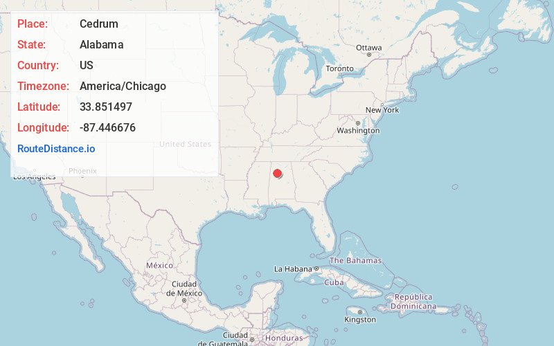
Static map view of Cedrum, Alabama
Browse Places by Distance
Places within specific distances from Cedrum
Short Distances
Long Distances
Click any distance to see all places within that range from Cedrum. Distances shown in miles (1 mile ≈ 1.61 kilometers).