Distance to Celeryville, Ohio

Calculating Your Route
Just a moment while we process your request...
Location Information
-
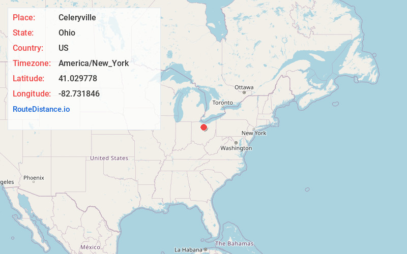
Full AddressCeleryville, OH 44890
-
Coordinates41.0297776, -82.7318459
-
LocationCeleryville , Ohio , US
-
TimezoneAmerica/New_York
-
Current Local Time4:43:22 AM America/New_YorkWednesday, June 25, 2025
-
Page Views0
About Celeryville
Celeryville is an unincorporated community and census-designated place on the boundary between New Haven and Richmond townships in Huron County, Ohio, United States. Celeryville is located approximately 1 mile south of Willard, and the community relies on Willard's social services.
Nearby Places
Found 10 places within 50 miles

Willard
1.6 mi
2.6 km
Willard, OH 44890
Get directions

New Pittsburgh
2.3 mi
3.7 km
New Pittsburgh, OH 44865
Get directions
New Haven
2.6 mi
4.2 km
New Haven, OH
Get directions

Plymouth
4.1 mi
6.6 km
Plymouth, OH 44865
Get directions
New Washington
7.9 mi
12.7 km
New Washington, OH 44854
Get directions
North Fairfield
8.1 mi
13.0 km
North Fairfield, OH 44855
Get directions
Shiloh
8.1 mi
13.0 km
Shiloh, OH 44878
Get directions

Attica
8.5 mi
13.7 km
Attica, OH 44807
Get directions

Tiro
8.8 mi
14.2 km
Tiro, OH 44887
Get directions

Shelby
10.9 mi
17.5 km
Shelby, OH 44875
Get directions
Location Links
Local Weather
Weather Information
Coming soon!
Location Map
Static map view of Celeryville, Ohio
Browse Places by Distance
Places within specific distances from Celeryville
Short Distances
Long Distances
Click any distance to see all places within that range from Celeryville. Distances shown in miles (1 mile ≈ 1.61 kilometers).