Distance to Celestine, Indiana

Calculating Your Route
Just a moment while we process your request...
Location Information
-
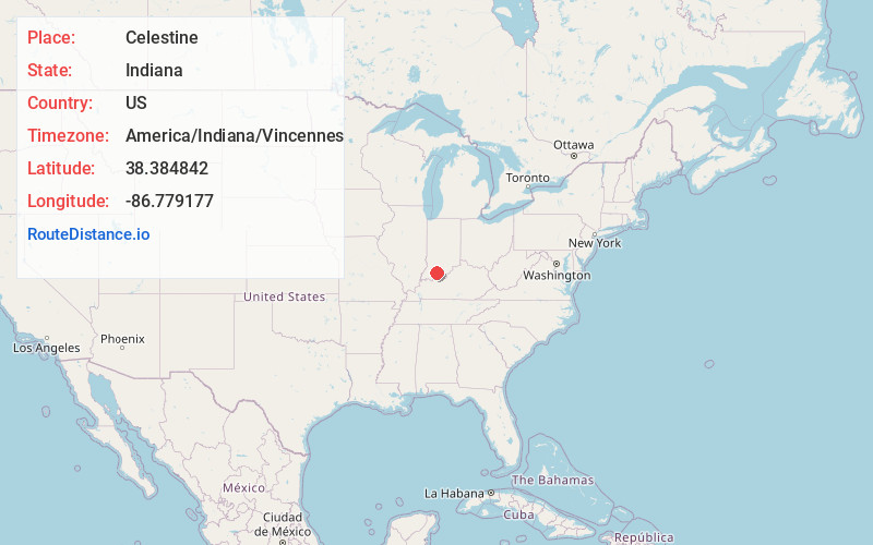
Full AddressCelestine, IN
-
Coordinates38.3848423, -86.7791769
-
LocationCelestine , Indiana , US
-
TimezoneAmerica/Indiana/Vincennes
-
Current Local Time5:28:27 AM America/Indiana/VincennesSaturday, June 7, 2025
-
Page Views0
About Celestine
Celestine is an unincorporated community in Hall Township, Dubois County, in the U.S. state of Indiana.
In 2008, the estimated population of Celestine was 250. The community is home to a Roman Catholic church.
Nearby Places
Found 10 places within 50 miles

Jasper
8.2 mi
13.2 km
Jasper, IN
Get directions

Huntingburg
11.2 mi
18.0 km
Huntingburg, IN 47542
Get directions

Ferdinand
12.0 mi
19.3 km
Ferdinand, IN 47532
Get directions

French Lick
14.2 mi
22.9 km
French Lick, IN 47432
Get directions
St Meinrad
14.9 mi
24.0 km
St Meinrad, IN 47577
Get directions

West Baden Springs
15.4 mi
24.8 km
West Baden Springs, IN
Get directions
Holland
16.9 mi
27.2 km
Holland, IN 47541
Get directions

English
17.4 mi
28.0 km
English, IN 47118
Get directions

Dale
18.8 mi
30.3 km
Dale, IN 47523
Get directions

Shoals
19.5 mi
31.4 km
Shoals, IN 47581
Get directions
Location Links
Local Weather
Weather Information
Coming soon!
Location Map
Static map view of Celestine, Indiana
Browse Places by Distance
Places within specific distances from Celestine
Short Distances
Long Distances
Click any distance to see all places within that range from Celestine. Distances shown in miles (1 mile ≈ 1.61 kilometers).