Distance to Celina, Ohio

Calculating Your Route
Just a moment while we process your request...
Location Information
-
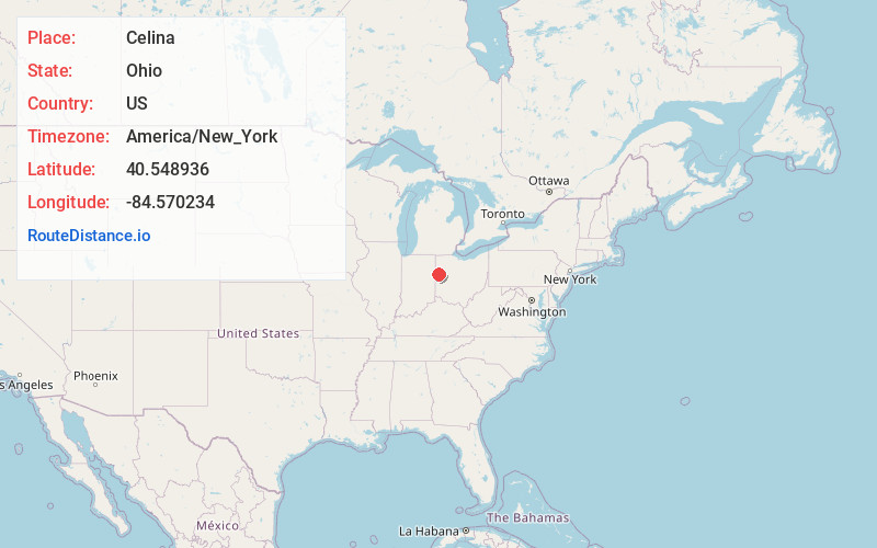
Full AddressCelina, OH 45822
-
Coordinates40.5489358, -84.5702338
-
LocationCelina , Ohio , US
-
TimezoneAmerica/New_York
-
Current Local Time2:26:31 PM America/New_YorkMonday, June 16, 2025
-
Website
-
Page Views0
About Celina
Celina is a city in Mercer County, Ohio, United States, and its county seat. The population was 10,935 at the 2020 census. Located about 58 miles northwest of Dayton, Celina is situated on the northwestern shores of Grand Lake St. Marys.


Nearby Places
Found 10 places within 50 miles

Van Wert
22.2 mi
35.7 km
Van Wert, OH 45891
Get directions

Lima
27.8 mi
44.7 km
Lima, OH
Get directions

Sidney
28.5 mi
45.9 km
Sidney, OH 45365
Get directions

Greenville
31.0 mi
49.9 km
Greenville, OH 45331
Get directions

Piqua
32.8 mi
52.8 km
Piqua, OH
Get directions

Troy
40.2 mi
64.7 km
Troy, OH 45373
Get directions

New Haven
42.9 mi
69.0 km
New Haven, IN
Get directions

Bellefontaine
44.5 mi
71.6 km
Bellefontaine, OH 43311
Get directions

Fort Wayne
47.1 mi
75.8 km
Fort Wayne, IN
Get directions

Englewood
48.5 mi
78.1 km
Englewood, OH
Get directions
Location Links
Local Weather
Weather Information
Coming soon!
Location Map
Static map view of Celina, Ohio
Browse Places by Distance
Places within specific distances from Celina
Short Distances
Long Distances
Click any distance to see all places within that range from Celina. Distances shown in miles (1 mile ≈ 1.61 kilometers).