Distance to Center Line, Michigan

Calculating Your Route
Just a moment while we process your request...
Location Information
-
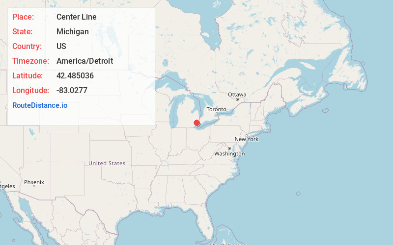
Full AddressCenter Line, MI
-
Coordinates42.4850362, -83.0277002
-
LocationCenter Line , Michigan , US
-
TimezoneAmerica/Detroit
-
Current Local Time7:18:27 PM America/DetroitThursday, June 12, 2025
-
Website
-
Page Views0
About Center Line
Center Line is a city in Macomb County in the U.S. state of Michigan. An inner-ring suburb of Metro Detroit, Center Line is located roughly 11 miles north of downtown Detroit, and is completely surrounded by the larger city of Warren. As of the 2020 census, the city had a population of 8,552.
Nearby Places
Found 10 places within 50 miles

Warren
2.1 mi
3.4 km
Warren, MI
Get directions

Eastpointe
3.9 mi
6.3 km
Eastpointe, MI 48021
Get directions

Madison Heights
3.9 mi
6.3 km
Madison Heights, MI 48071
Get directions

Hazel Park
4.2 mi
6.8 km
Hazel Park, MI 48030
Get directions

Roseville
4.7 mi
7.6 km
Roseville, MI 48066
Get directions

Fraser
5.5 mi
8.9 km
Fraser, MI 48026
Get directions

Ferndale
5.7 mi
9.2 km
Ferndale, MI 48220
Get directions

Royal Oak
6.0 mi
9.7 km
Royal Oak, MI
Get directions

Harper Woods
6.4 mi
10.3 km
Harper Woods, MI
Get directions

Hamtramck
6.5 mi
10.5 km
Hamtramck, MI
Get directions
Location Links
Local Weather
Weather Information
Coming soon!
Location Map
Static map view of Center Line, Michigan
Browse Places by Distance
Places within specific distances from Center Line
Short Distances
Long Distances
Click any distance to see all places within that range from Center Line. Distances shown in miles (1 mile ≈ 1.61 kilometers).