Distance to Centerton, Arkansas

Calculating Your Route
Just a moment while we process your request...
Location Information
-
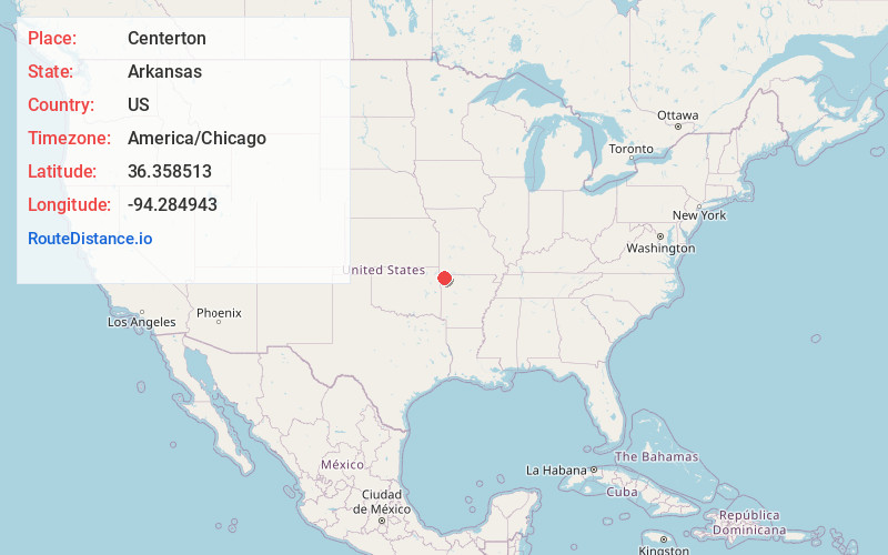
Full AddressCenterton, AR
-
Coordinates36.3585128, -94.2849431
-
LocationCenterton , Arkansas , US
-
TimezoneAmerica/Chicago
-
Current Local Time11:37:54 AM America/ChicagoThursday, June 19, 2025
-
Page Views0
About Centerton
Centerton is a city in Benton County, Arkansas, United States. Located west of Bentonville on Highway 102, Centerton has grown from a railroad stop and fruit orchard community in the early 20th century into a suburban bedroom community within the rapidly growing Northwest Arkansas region.


Nearby Places
Found 6 places within 50 miles

Bentonville
4.3 mi
6.9 km
Bentonville, AR
Get directions

Bella Vista
8.4 mi
13.5 km
Bella Vista, AR
Get directions

Rogers
9.0 mi
14.5 km
Rogers, AR
Get directions

Springdale
15.1 mi
24.3 km
Springdale, AR
Get directions

Siloam Springs
18.6 mi
29.9 km
Siloam Springs, AR
Get directions

Fayetteville
21.7 mi
34.9 km
Fayetteville, AR
Get directions
Location Links
Local Weather
Weather Information
Coming soon!
Location Map
Static map view of Centerton, Arkansas
Browse Places by Distance
Places within specific distances from Centerton
Short Distances
Long Distances
Click any distance to see all places within that range from Centerton. Distances shown in miles (1 mile ≈ 1.61 kilometers).