Distance to Central, Utah

Calculating Your Route
Just a moment while we process your request...
Location Information
-
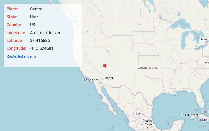
Full AddressCentral, UT 84722
-
Coordinates37.4166853, -113.6246009
-
LocationCentral , Utah , US
-
TimezoneAmerica/Denver
-
Current Local Time7:03:26 AM America/DenverSaturday, June 21, 2025
-
Page Views0
About Central
Central is a census-designated place in north-central Washington County, Utah, United States. The population was 613 at the 2010 census. Central lies along State Route 18, on the edge of the Dixie National Forest, north of the city of St. George.


Nearby Places
Found 10 places within 50 miles

Enterprise
12.0 mi
19.3 km
Enterprise, UT
Get directions

Ivins
17.4 mi
28.0 km
Ivins, UT
Get directions

Santa Clara
19.7 mi
31.7 km
Santa Clara, UT
Get directions

Washington
20.8 mi
33.5 km
Washington, UT
Get directions

Toquerville
21.8 mi
35.1 km
Toquerville, UT
Get directions

St. George
22.3 mi
35.9 km
St. George, UT
Get directions

La Verkin
24.3 mi
39.1 km
La Verkin, UT 84745
Get directions

Hurricane
24.8 mi
39.9 km
Hurricane, UT 84737
Get directions

Apple Valley
34.9 mi
56.2 km
Apple Valley, UT 84737
Get directions

Cedar City
35.7 mi
57.5 km
Cedar City, UT
Get directions
Location Links
Local Weather
Weather Information
Coming soon!
Location Map
Static map view of Central, Utah
Browse Places by Distance
Places within specific distances from Central
Short Distances
Long Distances
Click any distance to see all places within that range from Central. Distances shown in miles (1 mile ≈ 1.61 kilometers).