Distance to Centralia, New York

Calculating Your Route
Just a moment while we process your request...
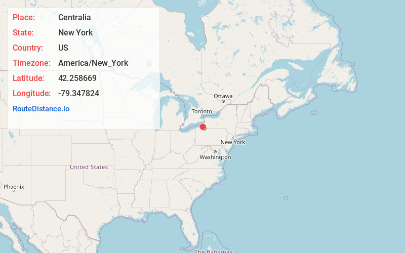
Location Information
-
Full AddressCentralia, Stockton, NY 14782
-
Coordinates42.2586693, -79.3478237
-
LocationStockton , New York , US
-
TimezoneAmerica/New_York
-
Current Local Time9:46:50 AM America/New_YorkTuesday, June 24, 2025
-
Page Views0
Nearby Places
Found 10 places within 50 miles

South Stockton
1.9 mi
3.1 km
South Stockton, Stockton, NY 14782
Get directions

Stockton
4.1 mi
6.6 km
Stockton, NY 14784
Get directions

Sinclairville
4.6 mi
7.4 km
Sinclairville, NY 14782
Get directions
Dewittville
5.2 mi
8.4 km
Dewittville, NY 14728
Get directions
Ellery Center
5.2 mi
8.4 km
Ellery Center, Ellery, NY 14712
Get directions

Cassadaga
6.2 mi
10.0 km
Cassadaga, NY 14718
Get directions

Chautauqua
7.0 mi
11.3 km
Chautauqua, NY 14757
Get directions

Bemus Point
7.1 mi
11.4 km
Bemus Point, NY 14712
Get directions
Wahmeda
7.3 mi
11.7 km
Wahmeda, Chautauqua, NY 14757
Get directions

Kimball Stand
7.5 mi
12.1 km
Kimball Stand, Gerry, NY 14740
Get directions
Location Links
Local Weather
Weather Information
Coming soon!
Location Map
Static map view of Centralia, New York
Browse Places by Distance
Places within specific distances from Centralia
Short Distances
Long Distances
Click any distance to see all places within that range from Centralia. Distances shown in miles (1 mile ≈ 1.61 kilometers).