Distance to Centre County, Pennsylvania

Calculating Your Route
Just a moment while we process your request...
Location Information
-
Full AddressCentre County, PA
-
Coordinates40.8765649, -77.8367282
-
LocationPennsylvania , US
-
TimezoneAmerica/New_York
-
Current Local Time12:04:09 PM America/New_YorkSunday, June 1, 2025
-
Website
-
Page Views0
About Centre County
Centre County is a county in the Commonwealth of Pennsylvania, United States. As of the 2020 census, the population was 158,172. Its county seat is Bellefonte. Centre County is composed of the State College, PA Metropolitan Statistical Area. The county is part of the Central Pennsylvania region of the state.


Nearby Places
Found 10 places within 50 miles

Bellefonte
4.0 mi
6.4 km
Bellefonte, PA 16823
Get directions
State College
5.9 mi
9.5 km
State College, PA
Get directions

Spring Township
6.0 mi
9.7 km
Spring Township, PA
Get directions

Park Forest Village
6.4 mi
10.3 km
Park Forest Village, PA
Get directions

Boalsburg
7.3 mi
11.7 km
Boalsburg, PA 16827
Get directions

Harris Township
9.2 mi
14.8 km
Harris Township, PA
Get directions

Ferguson Township
9.8 mi
15.8 km
Ferguson Township, PA
Get directions

Walker Township
12.2 mi
19.6 km
Walker Township, PA
Get directions

Lewistown
23.7 mi
38.1 km
Lewistown, PA 17044
Get directions
Granville
24.9 mi
40.1 km
Granville, PA
Get directions
Location Links
Local Weather
Weather Information
Coming soon!
Location Map
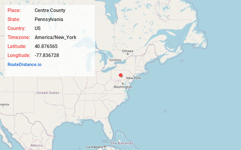
Static map view of Centre County, Pennsylvania
Browse Places by Distance
Places within specific distances from Centre County
Short Distances
Long Distances
Click any distance to see all places within that range from Centre County. Distances shown in miles (1 mile ≈ 1.61 kilometers).