Distance to Cerro Gordo, Tennessee

Calculating Your Route
Just a moment while we process your request...
Location Information
-
Full AddressCerro Gordo, TN 38372
-
Coordinates35.303173, -88.179443
-
LocationCerro Gordo , Tennessee , US
-
TimezoneAmerica/Chicago
-
Current Local Time11:15:50 AM America/ChicagoSaturday, May 31, 2025
-
Page Views0
About Cerro Gordo
Cerro Gordo is an unincorporated community in Hardin County, Tennessee. Cerro Gordo is located on the east bank of the Tennessee River, north of Savannah. It is most notable as the May 1816 landing site of the Hardin Expedition. Cerro Gordo is Spanish for fat hill.
Nearby Places
Found 10 places within 50 miles

Centerview
1.3 mi
2.1 km
Centerview, TN 38372
Get directions
Hookers Bend
2.3 mi
3.7 km
Hookers Bend, TN 38361
Get directions
Crossroads
3.2 mi
5.1 km
Crossroads, TN 38372
Get directions
Swift
3.6 mi
5.8 km
Swift, TN 38372
Get directions
Holtsville
3.9 mi
6.3 km
Holtsville, TN 38361
Get directions

Saltillo
5.4 mi
8.7 km
Saltillo, TN
Get directions
Havana
6.3 mi
10.1 km
Havana, TN 38372
Get directions
Olivet
6.4 mi
10.3 km
Olivet, TN 38372
Get directions

Savannah
6.6 mi
10.6 km
Savannah, TN 38372
Get directions
Unity
7.6 mi
12.2 km
Unity, TN 38311
Get directions
Location Links
Local Weather
Weather Information
Coming soon!
Location Map
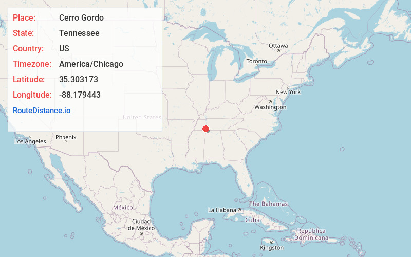
Static map view of Cerro Gordo, Tennessee
Browse Places by Distance
Places within specific distances from Cerro Gordo
Short Distances
Long Distances
Click any distance to see all places within that range from Cerro Gordo. Distances shown in miles (1 mile ≈ 1.61 kilometers).